Coto Ciudadela
Coto Ciudadela is a bus stop in Tres de Febrero, Buenos Aires. Coto Ciudadela is situated nearby to the military installation Servicio Centralizado de Infantería III ‘Gerardo Javier Martínez’, as well as near the park Plaza de los Artilleros.| Tap on a place to explore it |
Places of Interest Nearby
Highlights include Ciudadela train station and Ramos Mejía train station.
Ciudadela train station
Railway station
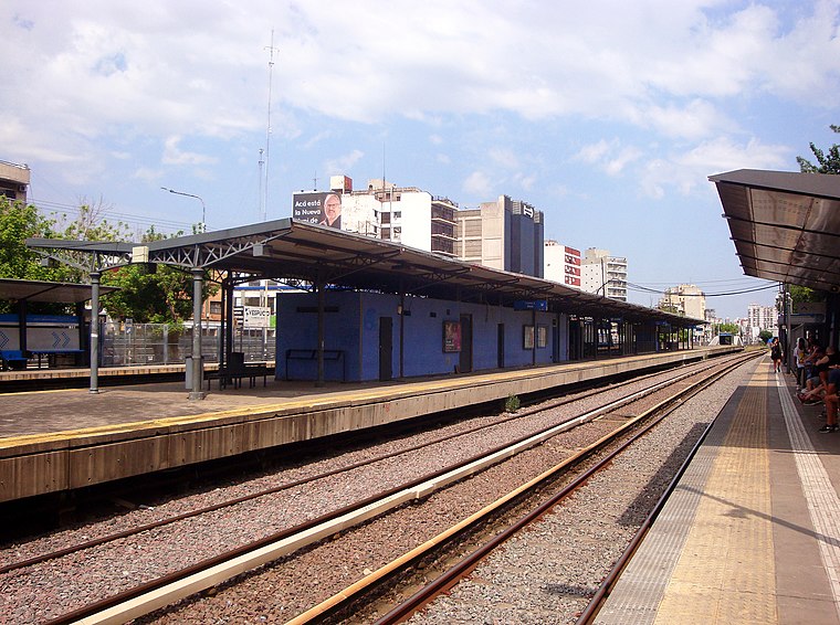
Photo: Wguayana, Public domain.
Ciudadela train station is a railway station, which is situated 1½ km southeast of Coto Ciudadela.
Ramos Mejía train station
Railway station

Photo: Tanatos02, Public domain.
Ramos Mejía train station is a railway station, which is situated 2 km southwest of Coto Ciudadela.
Fuerte Apache
Residential area
Barrio Ejército de los Andes, better known as Fuerte Apache, is a neighbourhood of Ciudadela near the city of Buenos Aires, Argentina. It is known for its high crime rates and prevalent drug use. Fuerte Apache is situated 1¼ km northeast of Coto Ciudadela.
Places in the Area
Nearby places include Ciudadela and José Ingenieros.
Ciudadela
Town

Photo: Fma12, CC BY-SA 4.0.
Ciudadela is a city in Greater Buenos Aires, Buenos Aires Province, Argentina. It is located in the Tres de Febrero Partido, immediately to the west of the neighborhood of Liniers in Buenos Aires city proper.
José Ingenieros
Village
José Ingenieros is a town in Tres de Febrero Partido of Buenos Aires Province, Argentina. It is located in the Greater Buenos Aires urban agglomeration.
Villa Sarmiento
Town

Photo: Patricurcio, CC BY-SA 4.0.
Villa Sarmiento is a locality in Morón Partido in the province of Buenos Aires, Argentina. It is home to 17,737 people and has an area of 2.55 km².
Coto Ciudadela
- Type: Bus stop
- Category: transportation
- Location: Tres de Febrero, Buenos Aires, Pampas, Argentina, South America
- View on OpenStreetMap
Latitude
-34.62927° or 34° 37′ 45″ southLongitude
-58.55035° or 58° 33′ 1″ westOpen location code
48Q39CCX+7VOpenStreetMap ID
node 9721845689OpenStreetMap feature
highway=bus_stopOpenStreetMap feature
public_transport=platform
This page is based on OpenStreetMap, Wikidata, and Wikimedia Commons.
We’d love your help improving our open data sources. Thank you for contributing.
Satellite Map
Discover Coto Ciudadela from above in high-definition satellite imagery.
Notable Places Nearby
Highlights include Servicio Centralizado de Infantería III ‘Gerardo Javier Martínez’ and Coto Ciudadela.
Nearby Places
Explore places such as Coto Ciudadela and Terlizzi S.A.I.C..
Buenos Aires: Must-Visit Destinations
Delve into Buenos Aires, La Plata, Mar del Plata, and Centro.
Curious Bus Stops to Discover
Uncover intriguing bus stops from every corner of the globe.
About Mapcarta. Data © OpenStreetMap contributors and available under the Open Database License". Text is available under the CC BY-SA 4.0 license, except for photos, directions, and the map. Photo: Mbusin, CC BY-SA 4.0.