Wilmslow Road
Wilmslow Road is a bus stop in Manchester, England. Wilmslow Road is situated nearby to Manchester South Seventh Day Adventist Church, as well as near Church of the Holy Innocents and St James.| Tap on a place to explore it |
Places of Interest Nearby
Highlights include Church of the Holy Innocents and St James and Unitarian Chapel (Platt Chapel).

Unitarian Chapel (Platt Chapel)
Church

Photo: Wikimedia, CC BY-SA 2.0.
Unitarian Chapel (Platt Chapel) is a church, which is situated 1,500 feet north of Wilmslow Road.
Manchester High School for Girls
School

Photo: Wikiniini76, CC BY-SA 3.0.
Manchester High School for Girls is an English private day school for girls and a member of the Girls School Association. It is situated in Fallowfield, Manchester. Manchester High School for Girls is situated 1,600 feet north of Wilmslow Road.
Places in the Area
Nearby places include Fallowfield and Rusholme.
Fallowfield
Suburb
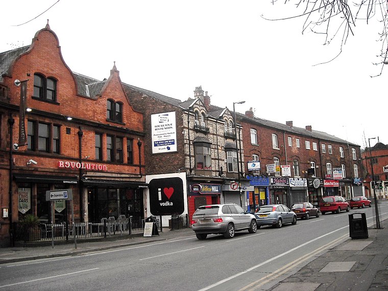
Photo: raver mikey, CC BY 2.0.
Fallowfield is a bustling area of Manchester with a population of 14,869 at the 2021 census. Historically in Lancashire, it lies 3 miles south of Manchester city centre and is bisected east–west by Wilbraham Road and north–south by Wilmslow Road.
Rusholme
Suburb
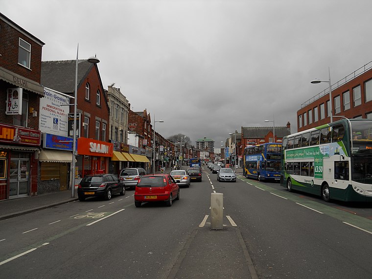 Rusholme is an area of Manchester, in Greater Manchester, England, two miles south of the city centre. The population of the ward at the 2011 census was 13,643.
Withington
Suburb

Photo: Wikimedia, Public domain.
Withington is a suburb of Manchester, England. Historically part of Lancashire, it lies 4 miles from Manchester city centre, 0.4 miles south of Fallowfield, 0.5 miles north-east of Didsbury and 1 mile east of Chorlton-cum-Hardy.
Wilmslow Road
- Type: Bus stop
- Category: transportation
- Location: Manchester, England, United Kingdom, Britain and Ireland, Europe
- View on OpenStreetMap
Latitude
53.44264° or 53° 26′ 34″ northLongitude
-2.22002° or 2° 13′ 12″ westNetwork
TfGMOpen location code
9C5VCQVH+3XOpenStreetMap ID
node 9744084365OpenStreetMap feature
highway=bus_stopOpenStreetMap feature
public_transport=platform
This page is based on OpenStreetMap, Wikidata, and Wikimedia Commons.
We’d love your help improving our open data sources. Thank you for contributing.
Satellite Map
Discover Wilmslow Road from above in high-definition satellite imagery.
Places with the Same Name
Discover other places named “Wilmslow Road”.
Notable Places Nearby
Highlights include Manchester South Seventh Day Adventist Church and Union Chapel Fallowfield.
Nearby Places
Explore places such as Wilbraham Road and Nayaab.
Manchester: Must-Visit Destinations
Delve into Manchester Airport, Victoria-Shopping District, Piccadilly-East Centre, and Castlefield-Petersfield.
Curious Bus Stops to Discover
Uncover intriguing bus stops from every corner of the globe.
About Mapcarta. Data © OpenStreetMap contributors and available under the Open Database License". Text is available under the CC BY-SA 4.0 license, except for photos, directions, and the map. Photo: David Dixon, CC BY-SA 2.0.