Epicerie Bègue
Epicerie Bègue is a bus stop in Petite-Île, Arrondissement de Saint-Pierre. Epicerie Bègue is situated nearby to the recreation area Base de Trampoline, as well as near the stadium Stade Régional d’Athlétisme Gabi Folio.| Tap on a place to explore it |
Places of Interest Nearby
Highlights include Piton Montvert and Piton Grande Anse.
Piton Montvert
Peak

Photo: Fée Katia, CC BY-SA 4.0.
Piton Montvert is a peak, which is situated 2½ km northwest of Epicerie Bègue.
Piton Grande Anse
Peak
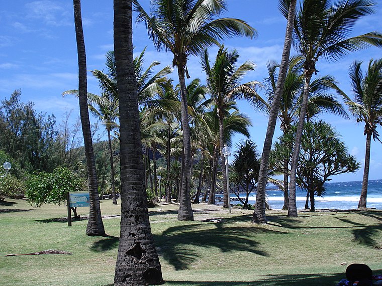
Photo: Titi974, CC BY-SA 3.0.
Piton Grande Anse is a peak, which is situated 4 km south of Epicerie Bègue.
Chapelle Sainte-Marguerite de Petite-Île
Church

Photo: WCOMFR, CC BY-SA 4.0.
Chapelle Sainte-Marguerite de Petite-Île is a church, which is situated 4 km southeast of Epicerie Bègue.
Places in the Area
Nearby places include Manapany and Saint-Joseph.
Manapany
Locality

Photo: JoKerozen, CC BY-SA 2.5.
Manapany is a village on the island of Réunion. Located on the southern coast, between the communes of Petite-Île and Saint-Joseph, it is a quiet holiday spot with a natural swimming pool made from basaltic rock. Manapany is situated 5 km southeast of Epicerie Bègue.
Saint-Joseph
Town

Photo: Thierry Caro, CC BY-SA 2.5.
Saint-Joseph is a commune in the French overseas department of Réunion. It is located on the extreme south end of the island of Réunion. As such, it features the southernmost point of the European Union. The village Vincendo is part of the commune. Saint-Joseph is situated 7 km southeast of Epicerie Bègue.
Epicerie Bègue
- Type: Bus stop
- Categories: transport stop and transportation
- Location: Petite-Île, Arrondissement de Saint-Pierre, La Reunion, Réunion, East African Islands, Africa
- View on OpenStreetMap
Latitude
-21.33863° or 21° 20′ 19″ southLongitude
55.56197° or 55° 33′ 43″ eastOpen location code
5HCQMH66+GQOpenStreetMap ID
node 974607130OpenStreetMap feature
public_transport=stop_position
This page is based on OpenStreetMap, Wikidata, and Wikimedia Commons.
We’d love your help improving our open data sources. Thank you for contributing.
Satellite Map
Discover Epicerie Bègue from above in high-definition satellite imagery.
Places with the Same Name
Discover other places named “Epicerie Bègue”.
Notable Places Nearby
Highlights include Base de Trampoline and Stade Régional d’Athlétisme Gabi Folio.
Nearby Places
Explore places such as Epicerie Bègue and 31 Chemin Estellien Sorres.
Réunion: Must-Visit Destinations
Delve into Saint-Denis, Piton de la Fournaise, Saint-Leu, and Cirque de Mafate.
Curious Bus Stops to Discover
Uncover intriguing bus stops from every corner of the globe.
About Mapcarta. Data © OpenStreetMap contributors and available under the Open Database License". Text is available under the CC BY-SA 4.0 license, except for photos, directions, and the map. Photo: Fabimaru, CC BY-SA 3.0.