d’Eugénie à Émilie
d’Eugénie à Émilie is a restaurant in Saint-Ghislain, Arrondissement of Mons, Wallonia. d’Eugénie à Émilie is situated nearby to the cemetery Cimetière de Baudour, as well as near the grassland Pelouse de dispersion.| Tap on a place to explore it |
Places of Interest Nearby
Highlights include Quaregnon railway station.
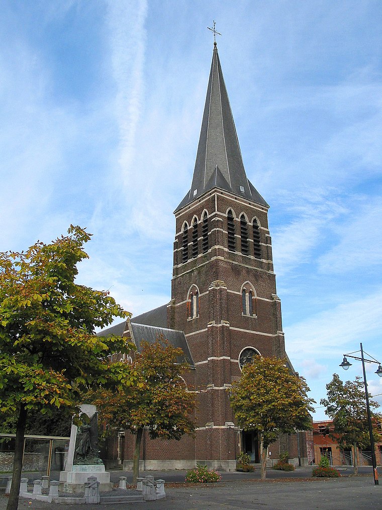
Quaregnon railway station
Railway stop

Photo: Japplemedia, CC BY-SA 4.0.
Quaregnon railway station is a railway stop, which is situated 4 km south of d’Eugénie à Émilie.
Places in the Area
Nearby places include Ghlin and Quaregnon.
Ghlin
Village
 Ghlin is a sub-municipality of the city of Mons located in the province of Hainaut, Wallonia, Belgium. It was a separate municipality until 1972. On 1 January 1972, it was merged into Mons. Ghlin is situated 4½ km east of d’Eugénie à Émilie.
Quaregnon
Town

Photo: Jean-Pol GRANDMONT, CC BY 2.5.
Quaregnon is a municipality of Wallonia located in the province of Hainaut, Belgium. On 1 January 2018 Quaregnon had a total population of 19,006. The total area is 11.08 km. The municipality consists of the following districts: Quaregnon and Wasmuel. Quaregnon is situated 5 km south of d’Eugénie à Émilie.
Hautrage
Village

Photo: Jean-Pol GRANDMONT, CC BY-SA 3.0.
Hautrage is a village, which is situated 5 km west of d’Eugénie à Émilie.
d’Eugénie à Émilie
- Type: Restaurant
- Cuisine: French
- Category: food
- Location: Saint-Ghislain, Arrondissement of Mons, Hainaut, Wallonia, Belgium, Benelux, Europe
- View on OpenStreetMap
Latitude
50.48314° or 50° 28′ 59″ northLongitude
3.83809° or 3° 50′ 17″ eastOpen location code
9F25FRMQ+76OpenStreetMap ID
node 976801445OpenStreetMap feature
amenity=restaurantOpenStreetMap attribute
cuisine=french
This page is based on OpenStreetMap, Wikidata, and Wikimedia Commons.
We’d love your help improving our open data sources. Thank you for contributing.
Satellite Map
Discover d’Eugénie à Émilie from above in high-definition satellite imagery.
Notable Places Nearby
Highlights include Cimetière de Baudour and Pelouse de dispersion.
Nearby Places
Explore places such as Boucherie Decocq and Nathaly’Style.
Hainaut: Must-Visit Destinations
Delve into Charleroi, Mons, Tournai, and La Louvière.
Curious Restaurants to Discover
Uncover intriguing restaurants from every corner of the globe.
About Mapcarta. Data © OpenStreetMap contributors and available under the Open Database License". Text is available under the CC BY-SA 4.0 license, except for photos, directions, and the map. Photo: Jean-Pol GRANDMONT, CC BY-SA 3.0.