Manaserro Farms
Manaserro Farms is a farm shop in Orange County, Southern California, California which is located on Rose Drive. Manaserro Farms is situated nearby to Carbon Canyon Dam, as well as near the health club F45 Training.| Tap on a place to explore it |
- Opening hours: Monday—Saturday 9:00 AM—5:00 PM
- Type: Farm shop
- Address: Rose Drive, Brea, CA 92823
Places of Interest Nearby
Highlights include Carbon Canyon Dam and Carbon Canyon Regional Park.
Carbon Canyon Dam
Dam

Photo: Sergei Gussev, CC BY 2.0.
Carbon Canyon Dam is a dam at the northern edge of Orange County, California. The dam is approximately 4 miles east of the city of Brea and approximately 12 miles north of the city of Santa Ana. Carbon Canyon Dam is situated 1,400 feet northeast of Manaserro Farms.
Carbon Canyon Regional Park
Park
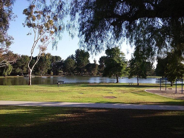
Photo: MorbidEntree, CC0.
Carbon Canyon Regional Park is a regional park in Brea, California, that was created after the Carbon Canyon Creek was dammed. It links up with Chino Hills State Park on the east side.
Richard Nixon Presidential Library and Museum
Museum

Photo: Sorcha, CC BY-SA 2.5.
The Richard Nixon Presidential Library and Museum is the presidential library and burial site of Richard Milhous Nixon, the 37th president of the United States, and his wife Pat Nixon. Richard Nixon Presidential Library and Museum is situated 2 miles southeast of Manaserro Farms.
Places in the Area
Nearby places include Yorba Linda and Olinda.
Yorba Linda

Photo: Traveler100, CC BY-SA 4.0.
Yorba Linda is a city in Orange County and a suburb of Los Angeles in Southern California. Its most famous resident was Richard Nixon. His birthplace is a National Historic Landmark, at his presidential library and museum located there.
Olinda
Suburb
Olinda is a neighborhood in Brea, California, located on Carbon Canyon Road east of the rest of the city. The original village was founded in the 1890s and grew when petroleum was discovered at the adjacent Brea-Olinda Oil Field. Olinda is situated 2½ miles northeast of Manaserro Farms.
Brea

Photo: Jonnyboyca, Public domain.
Brea is a city in northern Orange County, California, United States. The population as of the 2020 census was 47,325. It is 33 miles southeast of Los Angeles.
Manaserro Farms
- Categories: shop and food
- Location: Orange County, Southern California, California, United States, North America
- View on OpenStreetMap
Latitude
33.91029° or 33° 54′ 37″ northLongitude
-117.84228° or 117° 50′ 32″ westOperator
Manaserro FarmsOpen location code
8554W565+43OpenStreetMap ID
node 9805297028OpenStreetMap feature
shop=farm
This page is based on OpenStreetMap, Wikidata, and Wikimedia Commons.
We’d love your help improving our open data sources. Thank you for contributing.
Satellite Map
Discover Manaserro Farms from above in high-definition satellite imagery.
Notable Places Nearby
Highlights include F45 Training and The Church in Yorba Linda.
Nearby Places
Explore places such as The Original Manassero Farms and Carbon Creek below Carbon Canyon Dam.
Orange County: Must-Visit Destinations
Delve into Disneyland, Anaheim, Santa Ana, and Irvine.
Curious Farm Shops to Discover
Uncover intriguing farm shops from every corner of the globe.
About Mapcarta. Data © OpenStreetMap contributors and available under the Open Database License". Text is available under the CC BY-SA 4.0 license, except for photos, directions, and the map. Photo: Traveler100, CC BY-SA 3.0.