Sidrería Mi Viejo Bucay
Sidrería Mi Viejo Bucay is a beverage shop in Latina, Madrid, Community of Madrid. Sidrería Mi Viejo Bucay is situated nearby to the church Parroquia de San Leandro, as well as near the sports venue Centro Deportivo SAGE 2000.| Tap on a place to explore it |
Places of Interest Nearby
Highlights include Centro Cultural Fernando de los Ríos and Casa de Campo.
Centro Cultural Fernando de los Ríos
Community center

Photo: Gonzopowers, CC BY 2.0.
Centro Cultural Fernando de los Ríos is a community center, which is situated 510 metres southeast of Sidrería Mi Viejo Bucay.
Casa de Campo
Metro station

Photo: Draceane, CC BY-SA 4.0.
Casa de Campo is a cross-platform interchange station on Line 5 and Line 10 of the Madrid Metro that is situated near the Paseo de la Puerta de Batán in the Moncloa-Aravaca district and the Casa de Campo barrio. Casa de Campo is situated 640 metres north of Sidrería Mi Viejo Bucay.
Campamento
Metro station
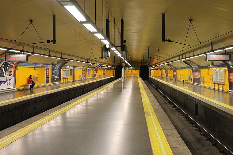
Photo: Draceane, CC BY-SA 4.0.
Campamento is a station on Line 5 of the Madrid Metro, serving the Campamento barrio. It is located in Zone A. Campamento is situated 670 metres southwest of Sidrería Mi Viejo Bucay.
Places in the Area
Nearby places include Aluche and Lucero.
Aluche
Quarter

Photo: Ricardo Ricote Rodríguez, CC BY 2.0.
Aluche is a barrio of the city of Madrid, situated in the southwest of the city, in the Latina district. It is bounded by the barrios of Campamento, Las Águilas, Lucero, Los Cármenes, and the Carabanchel district. Casa de Campo is also nearby.
Lucero
Quarter

Photo: Roman Santos, CC BY 2.0.
Lucero is an administrative neighborhood of Madrid belonging to the district of Latina.
Las Águilas
Quarter

Photo: Zaqarbal, CC BY-SA 3.0.
Las Águilas is an administrative neighborhood of Madrid belonging to the district of Latina.
Sidrería Mi Viejo Bucay
- Type: Beverage shop
- Category: shop
- Location: Latina, Madrid, Madrid, Community of Madrid, Central Spain, Spain, Iberia, Europe
- View on OpenStreetMap
Latitude
40.39778° or 40° 23′ 52″ northLongitude
-3.76145° or 3° 45′ 41″ westOpen location code
8CGR96XQ+4COpenStreetMap ID
node 9822052478OpenStreetMap feature
shop=beverages
This page is based on OpenStreetMap, Wikidata, and Wikimedia Commons.
We’d love your help improving our open data sources. Thank you for contributing.
Satellite Map
Discover Sidrería Mi Viejo Bucay from above in high-definition satellite imagery.
Notable Places Nearby
Highlights include Parroquia de San Leandro and Centro Deportivo SAGE 2000.
Nearby Places
Explore places such as Paradise and Franklin’s.
Madrid: Must-Visit Destinations
Delve into Sol-Letras-Lavapiés, Salamanca, Retiro-Paseo del Arte, and Chamberí-Castellana.
Curious Beverage Shops to Discover
Uncover intriguing beverage shops from every corner of the globe.
About Mapcarta. Data © OpenStreetMap contributors and available under the Open Database License". Text is available under the CC BY-SA 4.0 license, except for photos, directions, and the map. Photo: DonPaolo, CC BY-SA 3.0.