Wong’s Chinese
Wong’s Chinese is a fast food restaurant in Plymouth, England. Wong’s Chinese is situated nearby to Compton Church Hall, as well as near Compton Methodist Church.| Tap on a place to explore it |
Places of Interest Nearby
Highlights include Efford Library and Mutley Baptist Church.
Efford Library
Library

Photo: Clib31, CC BY-SA 4.0.
Efford Library is situated 2,600 feet east of Wong’s Chinese.
Mutley Baptist Church
Church

Photo: Tony Atkin, CC BY-SA 2.0.
Mutley Baptist Church is an evangelical Baptist church and congregation in Mutley Plain, Plymouth, Devon, situated in a large Grade II building, designed by architect J. Ambrose in 1867. Mutley Baptist Church is situated 1 mile southwest of Wong’s Chinese.
Fort Austin
Fort

Photo: Tony Atkin, CC BY-SA 2.0.
Fort Austin is a former 19th-century Fort, built as a result of the Royal Commission on National Defence of 1859. It was built to defend the landward approaches to the North East of Plymouth. Fort Austin is situated 1 mile northeast of Wong’s Chinese.
Places in the Area
Nearby places include Mannamead and Efford.
Mannamead
Suburb
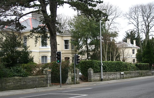
Photo: Tony Atkin, CC BY-SA 2.0.
Mannamead is a leafy suburb in the Compton ward of the city of Plymouth in the county of Devon, England. It was an affluent Victorian and early Edwardian suburb with wide avenues such as Seymour Road, grand villas and Thorn Park.
Efford
Suburb

Photo: Derek Harper, CC BY-SA 2.0.
Efford is an historic manor formerly in the parish of Eggbuckland, Devon, England. Today it has been absorbed by the city of Plymouth to become a large, mostly post-World War II, eastern suburb of the city.

Wong’s Chinese
- Type: Fast food restaurant
- Cuisine: Chinese
- Categories: food and restaurant
- Location: Plymouth, England, United Kingdom, Britain and Ireland, Europe
- View on OpenStreetMap
Latitude
50.3897° or 50° 23′ 23″ northLongitude
-4.12081° or 4° 7′ 15″ westOpen location code
9C2Q9VQH+VMOpenStreetMap ID
node 9879651649OpenStreetMap feature
amenity=fast_foodOpenStreetMap attribute
cuisine=chinese
This page is based on OpenStreetMap, Wikidata, and Wikimedia Commons.
We’d love your help improving our open data sources. Thank you for contributing.
Satellite Map
Discover Wong’s Chinese from above in high-definition satellite imagery.
Places with the Same Name
Discover other places named “Wong’s Chinese”.
Notable Places Nearby
Highlights include Compton Church Hall and Compton Methodist Church.
Nearby Places
Explore places such as Byland Road and Compton Vale.
England: Must-Visit Destinations
Delve into London, Manchester, Sheffield, and Leeds.
Curious Fast Food Restaurants to Discover
Uncover intriguing fast food restaurants from every corner of the globe.
About Mapcarta. Data © OpenStreetMap contributors and available under the Open Database License". Text is available under the CC BY-SA 4.0 license, except for photos, directions, and the map. Photo: Smalljim, CC BY 3.0.