Hardy Drive
Hardy Drive is a bus stop in Eastbourne District, East Sussex, England. Hardy Drive is situated nearby to the grassland Sovereign Park, as well as near the pitch School Field.| Tap on a place to explore it |
Places of Interest Nearby
Highlights include Sovereign Harbour and St Andrew.
Sovereign Harbour
Marina
Sovereign Harbour is a residential and commercial development of the shingle beachland and marsh between Eastbourne and Pevensey Bay in the seaside town of Eastbourne, England.
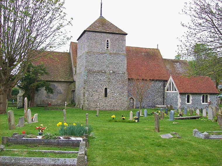
St Andrew
Church

Photo: The Voice of Hassocks, Public domain.
St Andrew is a church, which is situated 3,300 feet west of Hardy Drive.
St. Richard
Church

Photo: The Voice of Hassocks, Public domain.
St. Richard is a church, which is situated 3,700 feet north of Hardy Drive.
Places in the Area
Nearby places include Eastbourne and Normans Bay.
Eastbourne

Photo: Diliff, CC BY-SA 3.0.
Eastbourne is a popular and traditional sea-side resort town in East Sussex, on England's South East coast. It has one of the highest recorded days of sunshine per year in Britain and its climate is notable for its relatively high sunshine levels, with the town claiming to be the "Sunniest Place in the UK".
Normans Bay
Hamlet

Photo: Dr-Mx, CC BY-SA 4.0.
Normans Bay is a coastal fishing hamlet in Bexhill-on-Sea, East Sussex, England. The 8th Duke of Devonshire donated this land for a combined school and place of worship in the 1860s to be known as Pevensey Sluice. Normans Bay is situated 4½ miles northeast of Hardy Drive.
Hardy Drive
- Type: Bus stop
- Category: transportation
- Location: Eastbourne District, East Sussex, South East England, England, United Kingdom, Britain and Ireland, Europe
- View on OpenStreetMap
Latitude
50.78587° or 50° 47′ 9″ northLongitude
0.31841° or 0° 19′ 6″ eastOpen location code
9F22Q8P9+89OpenStreetMap ID
node 988255933OpenStreetMap feature
highway=bus_stopOpenStreetMap feature
public_transport=platform
This page is based on OpenStreetMap, Wikidata, and Wikimedia Commons.
We’d love your help improving our open data sources. Thank you for contributing.
Satellite Map
Discover Hardy Drive from above in high-definition satellite imagery.
Notable Places Nearby
Highlights include Sovereign Park and School Field.
Nearby Places
Explore places such as The Co-operative Food and Hardy Drive.
East Sussex: Must-Visit Destinations
Delve into Brighton, Eastbourne, Hastings, and Lewes.
Curious Bus Stops to Discover
Uncover intriguing bus stops from every corner of the globe.
About Mapcarta. Data © OpenStreetMap contributors and available under the Open Database License". Text is available under the CC BY-SA 4.0 license, except for photos, directions, and the map. Photo: matthewhartley369, CC BY-SA 2.0.