Beton Lana Srl
Beton Lana Srl is a factory in Eppan an der Weinstraße, South Tyrol, Trentino-Alto Adige. Beton Lana Srl is situated nearby to the power station Inceneritore - Müllverbrennungsanlage, as well as near the sports venue Salewa Cube.| Tap on a place to explore it |
Places of Interest Nearby
Highlights include Bolzano Dolomiti Airport and Sigmundskron Castle.
Bolzano Dolomiti Airport
Aerodrome

Photo: Carsten Steger, CC BY-SA 4.0.
Bolzano Airport is a regional airport near Bolzano in the province of South Tyrol in northern Italy and serves as the home base for Sky Alps.
Sigmundskron Castle
Museum

Photo: Wikimedia, CC BY-SA 3.0.
Sigmundskron Castle is an extensive castle and set of fortifications near Bolzano in South Tyrol. Today its ruins house the fourth mountain museum established by the South Tyrolean mountaineer, Reinhold Messner. Sigmundskron Castle is situated 1½ km north of Beton Lana Srl.
Sparkasse Arena
Stadium

Photo: Boboseiptu, CC BY 2.5.
The Sparkasse Arena, formerly called PalaOnda or Eiswelle, is an indoor sports arena in Bolzano, Italy. It was built to host the 1994 Men's World Ice Hockey Championships along with Forum di Assago and has a capacity of 7,200. Sparkasse Arena is situated 2 km east of Beton Lana Srl.
Places in the Area
Nearby places include San Giacomo and Seit.

Seit
Village
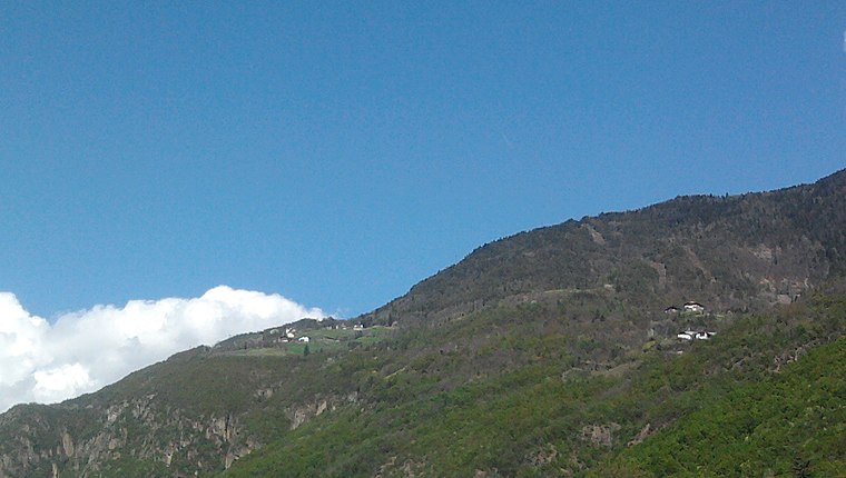
Photo: Tobia09, CC BY-SA 3.0.
Seit is a village, which is situated 3½ km east of Beton Lana Srl.

Beton Lana Srl
- Type: Factory
- Category: industry
- Location: Eppan an der Weinstraße, South Tyrol, Trentino-Alto Adige, Northeast Italy, Italy, Europe
- View on OpenStreetMap
Latitude
46.46586° or 46° 27′ 57″ northLongitude
11.30631° or 11° 18′ 23″ eastOpen location code
8FRHF884+8GOpenStreetMap ID
node 9918982441OpenStreetMap feature
man_made=works
This page is based on OpenStreetMap, Wikidata, and Wikimedia Commons.
We’d love your help improving our open data sources. Thank you for contributing.
Satellite Map
Discover Beton Lana Srl from above in high-definition satellite imagery.
Notable Places Nearby
Highlights include Inceneritore - Müllverbrennungsanlage and Salewa Cube.
Nearby Places
Explore places such as Eco Center SpA - Termovalorizzatore di Bolzano and Mittermair - SCANIA.
South Tyrol: Must-Visit Destinations
Delve into Bolzano, Brixen, Merano, and Bruneck.
Curious Factories to Discover
Uncover intriguing factories from every corner of the globe.
About Mapcarta. Data © OpenStreetMap contributors and available under the Open Database License". Text is available under the CC BY-SA 4.0 license, except for photos, directions, and the map. Photo: Thesurvived99, CC BY-SA 3.0.