Ralphina
Ralphina is a clothing store in Nailsworth, Stroud District, England which is located on Market Street. Ralphina is situated nearby to the art gallery _form. gallery, as well as near the health club Whack Club.| Tap on a place to explore it |
Places of Interest Nearby
Highlights include Nailsworth Library and Nailsworth Town Hall.

Nailsworth Town Hall
Town hall

Photo: Sharon Loxton, CC BY-SA 2.0.
Nailsworth Town Hall is a municipal building in Old Bristol Road in Nailsworth, Gloucestershire, England. The structure currently operates as the meeting place of Nailsworth Town Council as well as a community events venue. Nailsworth Town Hall is situated 620 feet south of Ralphina.

Places in the Area
Nearby places include Nailsworth and Box.
Nailsworth
Town

Photo: Maretinevans123, CC BY-SA 3.0.
Stroud is at the heart of the Five Valleys in the Cotswolds. It is in Gloucestershire, England. There's many fine, beautiful and interesting things to see but it's not "pretty" in the way that similar sized towns in the Cotswolds or Gloucestershire are.
Box
Village
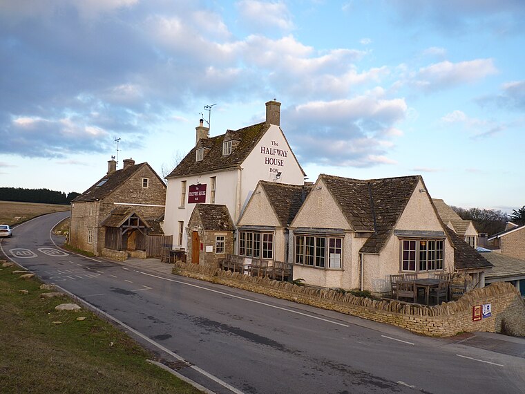
Photo: Jongleur100, Public domain.
Box is a small village in Gloucestershire, England. It is in the civil parish of Minchinhampton, and is located 3 miles south of Stroud and 10 miles west of Cirencester. Minchinhampton is about 1 mile away and Nailsworth is about 1.5 miles away.
Barton End
Hamlet

Photo: Philip Halling, CC BY-SA 2.0.
Barton End is a hamlet just south of Nailsworth, Gloucestershire, England.
Ralphina
- Type: Clothing store
- Address: 1 Market Street, Stroud, GL6 0BX
- Category: shop
- Location: Nailsworth, Stroud District, Gloucestershire, West Country, England, United Kingdom, Britain and Ireland, Europe
- View on OpenStreetMap
Latitude
51.6943° or 51° 41′ 40″ northLongitude
-2.21889° or 2° 13′ 8″ westOpen location code
9C3VMQVJ+PCOpenStreetMap ID
node 9988974446OpenStreetMap feature
shop=clothes
This page is based on OpenStreetMap, Wikidata, and Wikimedia Commons.
We’d love your help improving our open data sources. Thank you for contributing.
Satellite Map
Discover Ralphina from above in high-definition satellite imagery.
Notable Places Nearby
Highlights include _form. gallery and Whack Club.
Nearby Places
Explore places such as Nailsworth Tailoring and Betty & Beattie’s Vintage Interiors.
Gloucestershire: Must-Visit Destinations
Delve into Gloucester, Cheltenham, Cirencester, and Yate.
Curious Clothing Stores to Discover
Uncover intriguing clothing stores from every corner of the globe.
About Mapcarta. Data © OpenStreetMap contributors and available under the Open Database License". Text is available under the CC BY-SA 4.0 license, except for photos, directions, and the map. Photo: Matthew Hartley, CC BY-SA 2.0.