Southeast São Paulo
Southeast is a region of São Paulo. It can be described as a "transition zone" between its three surrounding regions: the Historic Center, the "City of New Rich" and the "City of Workers", mixing characteristics of these three regions.| Tap on a place to explore it |
Photo: Dantadd, CC BY-SA 2.5.
Photo: Dianarchitect, CC BY-SA 4.0.
- Type: zone of São Paulo
- Description: zone in São Paulo
- Also known as: “Southeast Zone” and “Southeast Zone of São Paulo”
Places of Interest
Highlights include Estádio Conde Rodolfo Crespi and Immigration Museum of the State of São Paulo.
Estádio Conde Rodolfo Crespi
Stadium

Photo: Ericof, CC BY-SA 2.5.
Estádio Conde Rodolfo Crespi, usually known as Rua Javari, is a multi-use stadium located in São Paulo's Mooca neighborhood, Brazil. It is used mostly for football matches and hosts the home games of Clube Atlético Juventus, which is also the stadium's owner, and hosted the games of Pão de Açúcar Esporte Clube.
Immigration Museum of the State of São Paulo
Museum

Photo: Wikimedia, CC BY-SA 4.0.
The Immigration Museum of the State of São Paulo is a museum of immigration in the Mooca neighbourhood in east São Paulo, Brazil. It is located in the Immigrant Inn building, which opened in 1887.
Juventus-Mooca
Railway station

Photo: Agiesbrecht, CC BY 3.0.
Juventus-Mooca is a train station on CPTM's Line 10-Turquoise. It's located in the city of São Paulo.
Places in the Area
Nearby places include Mooca and Brás.
Mooca
Suburb
Southeast is a region of São Paulo. It can be described as a "transition zone" between its three surrounding regions: the Historic Center, the "City of New Rich" and the "City of Workers", mixing characteristics of these three regions.
Brás
Suburb
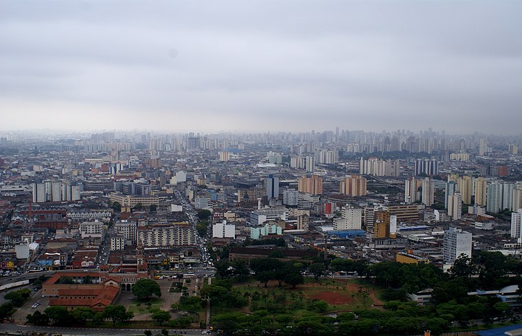
Photo: Lukaaz, CC BY-SA 3.0.
Brás is one of 96 districts in the city of São Paulo, Brazil. Administratively part of the Southeast Zone of São Paulo, Brás is located immediately to the east of the historic downtown in the Subprefecture of Mooca.
Belém
Suburb
Belém is one of 96 districts in the city of São Paulo, Brazil. Although administratively part of the Southeast Zone of São Paulo, Belém is located slightly northeast of the historic downtown in the subprefecture of Mooca.
Southeast São Paulo
Latitude
-23.555° or 23° 33′ 18″ southLongitude
-46.605° or 46° 36′ 18″ westOpen location code
588MC9VW+X2Wikidata ID
Q5558295
This page is based on Wikidata, Wikimedia Commons, and Wikivoyage.
We’d love your help improving our open data sources. Thank you for contributing.
Satellite Map
Discover Southeast São Paulo from above in high-definition satellite imagery.
In Other Languages
From Armenian to Uzbek—“Southeast São Paulo” goes by many names.
- Armenian: “Zona Sudeste de São Paulo”
- Esperanto: “Sudorienta Kvartalo de San-Paŭlo”
- Italian: “Zona sud est di San Paolo”
- Portuguese: “Zona Sudeste de São Paulo”
- Spanish: “Zona Sudeste de São Paulo”
- Turkish: “Güneydoğu São Paulo”
- Uzbek: “Southeast Zone of São Paulo”
Localities in the Area
Explore places such as Cambuci and Glicério.
São Paulo: Must-Visit Destinations
Delve into Paulista, Downtown São Paulo, West Side, and Northeast São Paulo.
Explore These Curated Destinations
Discover places selected for their distinct character and enduring appeal.
About Mapcarta. Text is available under the CC BY-SA 4.0 license, except for photos, directions, and the map. Description text is based on the Wikivoyage page “Southeast São Paulo”. Photo: Dianarchitect, CC BY-SA 4.0.