The Potteries
The Potteries is a building in Barnet, Greater London, England. The Potteries is situated nearby to St Catherine’s RC School, as well as near Underhill Baptist Church.| Tap on a place to explore it |
Places of Interest Nearby
Highlights include High Barnet tube station and Highlands Gardens.
High Barnet tube station
Metro station

Photo: TheFrog001, CC0.
High Barnet is a London Underground station, and former railway station, located in Chipping Barnet, North London. It is the northern terminus of its branch of the Northern line and the next station towards south is Totteridge & Whetstone. High Barnet tube station is situated 1,200 feet north of The Potteries.
Highlands Gardens
Park
Highlands Gardens is a small park in New Barnet at the western end of Leicester Road, on the corner with Abbotts Road. The park was opened in 1931 in the grounds of Highlands House which was demolished in about 1972 and replaced by flats. Highlands Gardens is situated 1,300 feet east of The Potteries.
Barnet Fire Station
Fire station

Photo: Philafrenzy, CC BY-SA 4.0.
Barnet Fire Station is located in Station Road, New Barnet, London. It was opened in 1993. A previous station in nearby Leicester Road closed in 1992 and was demolished in 2005. Barnet Fire Station is situated 1,500 feet east of The Potteries.
Places in the Area
Nearby places include Barnet and New Barnet.
Barnet
Town

Photo: MykReeve, CC BY-SA 3.0.
Chipping Barnet or High Barnet is a suburban market town in north London, forming part of the London Borough of Barnet, England. It is a suburban development built around a 12th-century settlement, and is located 10+1⁄2 miles north of Charing Cross, 3 miles east from Borehamwood, 5.2 miles west from Enfield and 3.2 miles south from Potters Bar.
New Barnet
Suburb
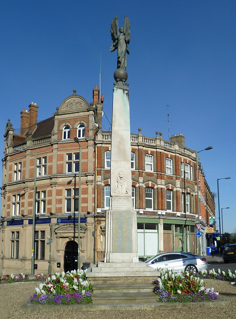
Photo: Philafrenzy, CC BY-SA 4.0.
New Barnet is a neighbourhood on the northeast side of the London Borough of Barnet. It is a largely residential North London suburb located east of Chipping Barnet, west of Cockfosters, south of the village of Monken Hadley and north of Oakleigh Park.
Totteridge
Suburb

Photo: Nigel Cox, CC BY-SA 2.0.
Totteridge is a residential area and former village in the London Borough of Barnet, England. It is a mixture of suburban development and open land situated 8 miles north north-west of Charing Cross.
The Potteries
- Type: Building
- Location: Barnet, Greater London, England, United Kingdom, Britain and Ireland, Europe
- View on OpenStreetMap
Latitude
51.64725° or 51° 38′ 50″ northLongitude
-0.19274° or 0° 11′ 34″ westLevels
3Open location code
9C3XJRW4+WWOpenStreetMap ID
way 10067417OpenStreetMap feature
building=flats
This page is based on OpenStreetMap, Wikidata, and Wikimedia Commons.
We’d love your help improving our open data sources. Thank you for contributing.
Satellite Map
Discover The Potteries from above in high-definition satellite imagery.
Places with the Same Name
Discover other places named “The Potteries”.
Notable Places Nearby
Highlights include St Catherine’s RC School and Underhill Baptist Church.
Nearby Places
Explore places such as Underhill and Hail & Ride Underhill.
England: Must-Visit Destinations
Delve into London, Manchester, Sheffield, and Leeds.
Curious Buildings to Discover
Uncover intriguing buildings from every corner of the globe.
About Mapcarta. Data © OpenStreetMap contributors and available under the Open Database License". Text is available under the CC BY-SA 4.0 license, except for photos, directions, and the map. Photo: sidibousaid, CC BY 2.0.