Kuokkalan vesitorni
Kuokkalan vesitorni is a water tower in Jyväskylä, Central Finland. Kuokkalan vesitorni is situated nearby to the peak Tykkikallio, as well as near the park Kakkospesän Puisto.| Tap on a place to explore it |
Places of Interest Nearby
Highlights include Kuokkala Church and Kuokkala Bridge.
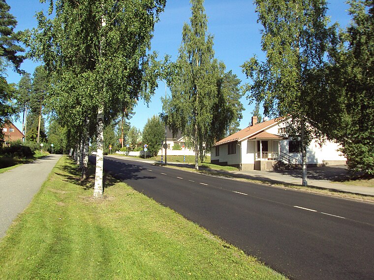
Kuokkala Church
Church

Photo: A333, CC BY-SA 3.0.
Kuokkala Church is situated 380 metres southeast of Kuokkalan vesitorni.
Kuokkala Bridge
Bridge

Photo: Toniht, Public domain.
Kuokkala Bridge is a bridge in Jyväskylä, Finland over the lake Jyväsjärvi. When the city of Jyväskylä expanded into Kuokkala, the eastern part of the town, it was deemed necessary to link the city centre to the new neighbourhood through a new bridge. Kuokkala Bridge is situated 600 metres north of Kuokkalan vesitorni.
Jyväskylä harbour
Harbor

Photo: Wikimedia, CC BY-SA 3.0.
Jyväskylä harbour is a harbor, which is situated 1 km northwest of Kuokkalan vesitorni.
Places in the Area
Nearby places include Kuokkala and Tikka.
Kuokkala
Suburb

Photo: Tumi-1983, CC BY-SA 3.0.
Kuokkala is a ward of Jyväskylä, Finland. It contains six districts: Ristonmaa, Kuokkala, Kuokkalanpelto, Ristikivi, Nenäinniemi and Hämeenlahti. As of December 2023, 18,256 people live in Kuokkala.

Kuokkalan vesitorni
- Type: Water tower
- Categories: building and industry
- Location: Jyväskylä, Jyväskylä, Central Finland, Finnish Lakeland, Finland, Nordic countries, Europe
- View on OpenStreetMap
Latitude
62.22902° or 62° 13′ 45″ northLongitude
25.76577° or 25° 45′ 57″ eastInception
1995Operator
Alva / Jyväskylä EnergyOpen location code
9GJ76QH8+J8OpenStreetMap ID
way 1008189370OpenStreetMap feature
building=yesOpenStreetMap feature
man_made=water_tower
This page is based on OpenStreetMap, Wikidata, and Wikimedia Commons.
We’d love your help improving our open data sources. Thank you for contributing.
Satellite Map
Discover Kuokkalan vesitorni from above in high-definition satellite imagery.
Notable Places Nearby
Highlights include Tykkikallio and Kakkospesän Puisto.
Nearby Places
Explore places such as Kuokkalan päiväkoti and Pali 7/ Kuokkala.
Central Finland: Must-Visit Destinations
Delve into Äänekoski, Jämsä, Keuruu, and Viitasaari.
Curious Water Towers to Discover
Uncover intriguing water towers from every corner of the globe.
About Mapcarta. Data © OpenStreetMap contributors and available under the Open Database License". Text is available under the CC BY-SA 4.0 license, except for photos, directions, and the map. Photo: Kulmalukko, CC BY-SA 4.0.