subestación ADIF Pancorbo
subestación ADIF Pancorbo is an electrical substation in Pancorbo, Burgos, Castile and León. subestación ADIF Pancorbo is situated nearby to the railway station Pancorbo train station, as well as near the police station Guardia Civil.| Tap on a place to explore it |
Places of Interest Nearby
Highlights include Pancorbo train station and Pancorbo Castle.
Pancorbo train station
Railway station

Photo: Jean-Pierre Vergez-Larrouy, CC BY-SA 3.0.
Pancorbo train station is a railway station.
Pancorbo Castle
Castle

Photo: Ipintza, CC BY-SA 4.0.
Pancorbo Castle is situated 650 metres north of subestación ADIF Pancorbo.
Church of Santiago
Church

Photo: Luis Rogelio HM, CC BY-SA 2.0.
Church of Santiago is situated 1 km north of subestación ADIF Pancorbo.
Places in the Area
Nearby places include Pancorbo and Altable.
Pancorbo
Village

Photo: Luis Rogelio HM, CC BY-SA 2.0.
Pancorbo is a municipality and town located in the province of Burgos, Castile and León, Spain. According to the 2004 census, the municipality has a population of 464 inhabitants.
Altable
Village
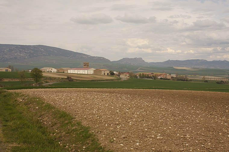
Photo: Wikimedia, CC BY-SA 3.0.
Altable is a municipality and town located in the province of Burgos, Castile and León, Spain. According to the 2004 census, the municipality has a population of 61 inhabitants. Altable is situated 4 km southeast of subestación ADIF Pancorbo.
Villanueva de Teba
Village

Photo: PMRMaeyaert, CC BY-SA 4.0.
Villanueva de Teba is a municipality located in the province of Burgos, Castile and León, Spain. According to the 2004 census, the municipality has a population of 57 inhabitants. Villanueva de Teba is situated 4½ km northwest of subestación ADIF Pancorbo.
subestación ADIF Pancorbo
- Type: Electrical substation
- Category: industry
- Location: Pancorbo, Burgos, Castile and León, Central Spain, Spain, Iberia, Europe
- View on OpenStreetMap
Latitude
42.62995° or 42° 37′ 48″ northLongitude
-3.11236° or 3° 6′ 45″ westOpen location code
8CJRJVHQ+X3OpenStreetMap ID
way 1010044796
This page is based on OpenStreetMap, Wikidata, and Wikimedia Commons.
We’d love your help improving our open data sources. Thank you for contributing.
Satellite Map
Discover subestación ADIF Pancorbo from above in high-definition satellite imagery.
Notable Places Nearby
Highlights include Guardia Civil and cementerio de Pancorbo.
Nearby Places
Explore places such as Pancorbo and Talleres Aldama.
Castile and León: Must-Visit Destinations
Delve into Valladolid, Salamanca, Segovia, and León.
Curious Electrical Substations to Discover
Uncover intriguing electrical substations from every corner of the globe.
About Mapcarta. Data © OpenStreetMap contributors and available under the Open Database License". Text is available under the CC BY-SA 4.0 license, except for photos, directions, and the map. Photo: Choniron, CC BY-SA 3.0 es.