Stanley Bakeries
Stanley Bakeries is a bakery in Bromley, Greater London, England which is located on Stanley Way. Stanley Bakeries is situated nearby to the archaeological site Roman Bath House, as well as near the park Riverside Gardens.| Tap on a place to explore it |
Places of Interest Nearby
Highlights include St Mary Cray railway station and Church of St Mary.
St Mary Cray railway station
Railway station

Photo: Sunil060902, CC BY-SA 3.0.
St Mary Cray railway station is in St Mary Cray, South East London within the London Borough of Bromley. It is 14 miles 57 chains down the line from London Victoria. St Mary Cray railway station is situated 1,600 feet north of Stanley Bakeries.
Church of St Mary
Church

Photo: Dr Neil Clifton, CC BY-SA 2.0.
Church of St Mary is situated 2,400 feet northeast of Stanley Bakeries.
Church of All Saints, Orpington
Church
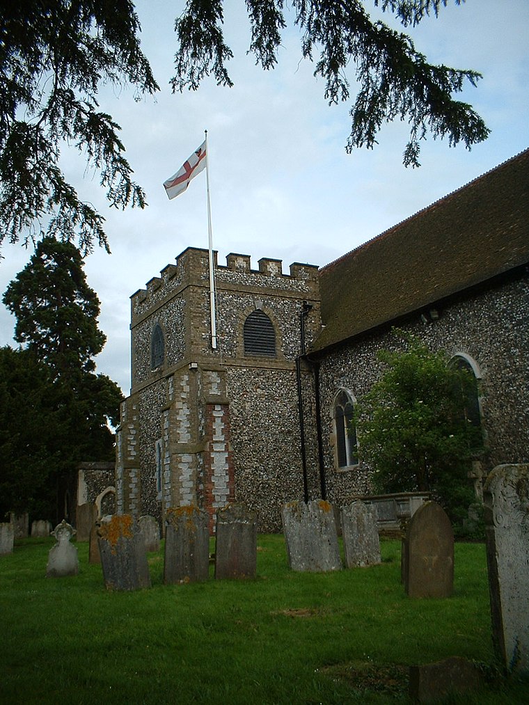
Photo: CarolGray, CC BY-SA 3.0.
The Church of All Saints is a Grade II* listed church in Orpington, Bromley, London. Church of All Saints, Orpington is situated 1 mile south of Stanley Bakeries.
Places in the Area
Nearby places include St Mary Cray and Poverest.
St Mary Cray
Suburb

Photo: John Salmon, CC BY-SA 2.0.
St Mary Cray is a suburb of Orpington within the London Borough of Bromley, Greater London. Historically it was a market town in the county of Kent. It is located north of Orpington town centre, and 13 miles south-east of Charing Cross.
Poverest
Suburb
Poverest is an area in south-east London, England, within the London Borough of Bromley in Greater London. Prior to 1965 it was within the historic county of Kent.
Orpington
Town

Photo: Ian Capper, CC BY-SA 2.0.
Orpington is a town in Greater London, England, within the London Borough of Bromley. It is 13.4 miles south east of Charing Cross. On the south-eastern edge of the Greater London Built-up Area, it is south of St Mary Cray, southwest of Swanley, west of Ramsden, north of Goddington and Green Street Green, and east of Crofton and Broom Hill.
Stanley Bakeries
- Type: Bakery
- Address: 11 Stanley Way, Orpington, BR5 2HE
- Categories: building, shop, apartment building, and food
- Location: Bromley, Greater London, England, United Kingdom, Britain and Ireland, Europe
- View on OpenStreetMap
Latitude
51.39056° or 51° 23′ 26″ northLongitude
0.10708° or 0° 6′ 26″ eastOpen location code
9F3294R4+6ROpenStreetMap ID
way 1013327076OpenStreetMap feature
building=apartmentsOpenStreetMap feature
shop=bakery
This page is based on OpenStreetMap, Wikidata, and Wikimedia Commons.
We’d love your help improving our open data sources. Thank you for contributing.
Satellite Map
Discover Stanley Bakeries from above in high-definition satellite imagery.
Notable Places Nearby
Highlights include Roman Bath House and Riverside Gardens.
Nearby Places
Explore places such as Color Pop Nails and Beril’s Cafe.
England: Must-Visit Destinations
Delve into London, Manchester, Sheffield, and Leeds.
Curious Bakeries to Discover
Uncover intriguing bakeries from every corner of the globe.
About Mapcarta. Data © OpenStreetMap contributors and available under the Open Database License". Text is available under the CC BY-SA 4.0 license, except for photos, directions, and the map. Photo: Mario modesto, CC BY-SA 3.0.