Church Mews
Church Mews is a residential area in Wisbech, Fenland District, England. Church Mews is situated nearby to the pub Duke’s Head, as well as near the square Wisbech Market Place.| Tap on a place to explore it |
Places of Interest Nearby
Highlights include Wisbech & Fenland Museum and St Peter and St Paul’s Church, Wisbech.
Wisbech & Fenland Museum
Museum
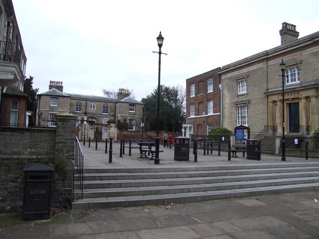
Photo: Tony Bennett, CC BY-SA 2.0.
The Wisbech & Fenland Museum, located in the town of Wisbech in the Isle of Ely, Cambridgeshire, England, is one of the oldest purpose-built museums in the United Kingdom. The museum logo is W&F. Wisbech & Fenland Museum is situated 390 feet southwest of Church Mews.
St Peter and St Paul’s Church, Wisbech
Church

Photo: Bearas, CC BY-SA 4.0.
The Parish Church of St Peter and St Paul or St Peter's Church is an Anglican church in Wisbech, Cambridgeshire, England. It is an active parish church in the Diocese of Ely. St Peter and St Paul’s Church, Wisbech is situated 380 feet south of Church Mews.
The Castle

Photo: Paul Shreeve, CC BY-SA 2.0.
The Castle is situated 510 feet southwest of Church Mews.
Places in the Area
Nearby places include Leverington and Elm.
Leverington
Village

Photo: mym, CC BY-SA 2.0.
Leverington is a village and civil parish in the Fenland District of Cambridgeshire, England. The settlement is to the north of Wisbech. At the time of the 2001 Census, the parish's population was 2,914 people, including Four Gotes, increasing to 3,339 at the 2011 Census. Leverington is situated 1½ miles northwest of Church Mews.
Elm
Village
Elm is a village and civil parish in the Fenland District of Cambridgeshire, England. In Domesday, it is called Helle. The village is about 11⁄2 miles or 21⁄2 km south of the market town of Wisbech, immediately to the south of the Wisbech by-pass. Elm is situated 1½ miles south of Church Mews.
West Walton
Village

Photo: Wikimedia, CC BY-SA 2.0.
West Walton is a village and civil parish in the King's Lynn and West Norfolk District of Norfolk, England. The parish of West Walton, in the 2001 Census, had a population of 1,659, increasing to 1,731 at the 2011 Census. West Walton is situated 2½ miles north of Church Mews.
Church Mews
Latitude
52.66499° or 52° 39′ 54″ northLongitude
0.16247° or 0° 9′ 45″ eastOpen location code
9F42M576+XXOpenStreetMap ID
way 1018381480OpenStreetMap feature
landuse=residential
This page is based on OpenStreetMap, Wikidata, and Wikimedia Commons.
We’d love your help improving our open data sources. Thank you for contributing.
Satellite Map
Discover Church Mews from above in high-definition satellite imagery.
Places with the Same Name
Discover other places named “Church Mews”.
Notable Places Nearby
Highlights include Duke’s Head and Wisbech Market Place.
Nearby Places
Explore places such as C.W.H.Cox and Bygones Cafe.
England: Must-Visit Destinations
Delve into London, Manchester, Sheffield, and Leeds.
Curious Residential Areas to Discover
Uncover intriguing residential areas from every corner of the globe.
About Mapcarta. Data © OpenStreetMap contributors and available under the Open Database License". Text is available under the CC BY-SA 4.0 license, except for photos, directions, and the map. Photo: sidibousaid, CC BY 2.0.