High Job’s Hill House
High Job’s Hill House is a chalet in County Durham, North East England, England. High Job’s Hill House is situated nearby to Helmington Row and Sunnybrow War Memorial, as well as near Crook Cemetery.| Tap on a place to explore it |
Places of Interest Nearby
Highlights include Parkside Academy and Willington, Oakenshaw, and Page Bank War Memorial Cross.
Parkside Academy
School
Parkside Academy, is a coeducational secondary school with academy status, located in Hall Lane Estate, Willington, Crook, County Durham, England. Parkside teaches a wide range of standard, and specialist curriculum subjects as well as a multitude of after school activities. Parkside Academy is situated 1½ miles east of High Job’s Hill House.
Willington, Oakenshaw, and Page Bank War Memorial Cross
Memorial

Photo: David Williams, CC BY-SA 2.0.
Willington, Oakenshaw, and Page Bank War Memorial Cross is situated 2 miles east of High Job’s Hill House.
Fir Tree War Memorial Drinking Fountain
Memorial
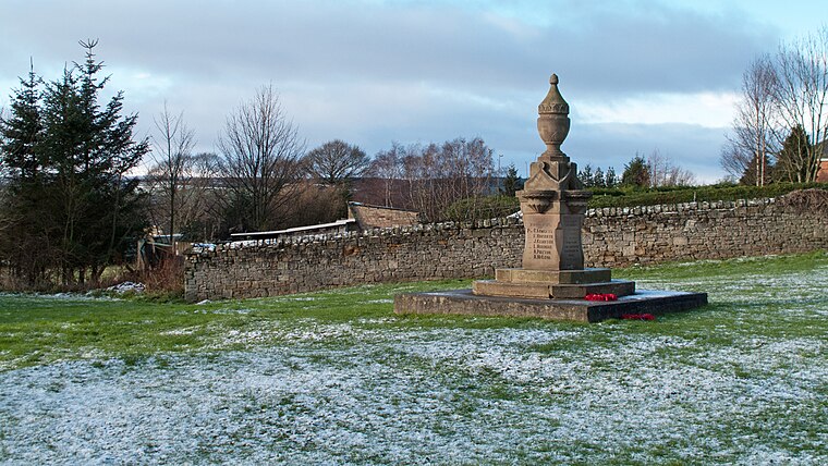
Photo: Trevor Littlewood, CC BY-SA 2.0.
Fir Tree War Memorial Drinking Fountain is situated 2 miles west of High Job’s Hill House.
Places in the Area
Nearby places include Helmington Row and Crook.
Helmington Row
Hamlet

Photo: Oliver Dixon, CC BY-SA 2.0.
Helmington Row is a small village in County Durham, England. It is situated between Crook and Willington, about 7 miles south-west of Durham and 3 miles north-north-west of Bishop Auckland.
Crook
Town
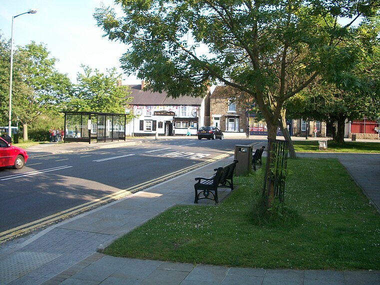
Photo: Walkerma, CC BY-SA 3.0.
Crook is a market town in the Durham County Council unitary authority and ceremonial county of County Durham, England. It is located on the edge of Weardale and sometimes referred to as the "Gateway to Weardale".
Howden-le-Wear
Village
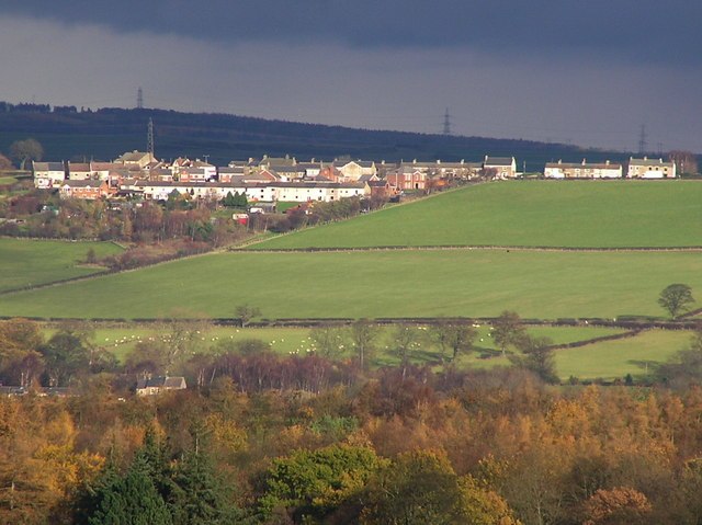
Photo: Hugh Mortimer, CC BY-SA 2.0.
Howden-le-Wear is a village in County Durham, in England. Howden-le-Wear is approximately 1 mile south of the large market town of Crook. It has a number of shops including the village One Stop convenience store, hairdressers, butchers and the petrol station.
High Job’s Hill House
- Type: Chalet
- Address: Crook, DL15 0SF
- Categories: house, building, tourism, and accommodation
- Location: County Durham, North East England, England, United Kingdom, Britain and Ireland, Europe
- View on OpenStreetMap
Latitude
54.70802° or 54° 42′ 29″ northLongitude
-1.73234° or 1° 43′ 56″ westOpen location code
9C6WP759+63OpenStreetMap ID
way 1023992596OpenStreetMap feature
building=houseOpenStreetMap feature
tourism=chalet
This page is based on OpenStreetMap, Wikidata, and Wikimedia Commons.
We’d love your help improving our open data sources. Thank you for contributing.
Satellite Map
Discover High Job’s Hill House from above in high-definition satellite imagery.
Notable Places Nearby
Highlights include Helmington Row and Sunnybrow War Memorial and Crook Cemetery.
Nearby Places
Explore places such as High Job’s Hill House and Elcoat Terrace.
County Durham: Must-Visit Destinations
Delve into Durham, Darlington, Hartlepool, and Stockton-on-Tees.
Curious Chalets to Discover
Uncover intriguing chalets from every corner of the globe.
About Mapcarta. Data © OpenStreetMap contributors and available under the Open Database License". Text is available under the CC BY-SA 4.0 license, except for photos, directions, and the map. Photo: Roberto Strauss, CC BY 2.0.