دبیرستان شاهد پسرانه رجایی
دبیرستان شاهد پسرانه رجایی is a school in Tehran, Central Iran. دبیرستان شاهد پسرانه رجایی is situated nearby to the government office اداره تامین اجتماعی شعبه ۲۸ تهران باغ فیض, as well as near the theme park شهربازی ژوپیتر.| Tap on a place to explore it |
Places of Interest Nearby
Highlights include Kourosh Cinema and Azadi Stadium.
Kourosh Cinema
Movie theater
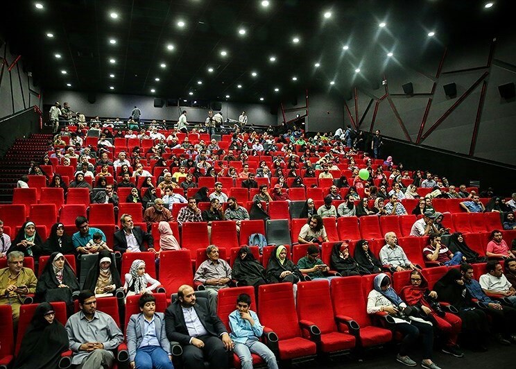 Kourosh Cinema is a movie theater, which is situated 230 metres south of دبیرستان شاهد پسرانه رجایی.
Azadi Stadium
Stadium
 The Azadi Stadium, opened and also well known as the Aryamehr Stadium, is an all-seater football stadium in Tehran, Iran. The stadium was designed by Abdol Aziz Mirza Farman-Farmaian Architects and Associates with other parts of the sports complex based on plans by Skidmore, Owings & Merrill, an American architectural, urban planning, and engineering firm. Azadi Stadium is situated 4 km southwest of دبیرستان شاهد پسرانه رجایی.
University of Science and Culture
University
The University of Science and Culture is a public non-profit university located in Tehran, Iran. University of Science and Culture is a research institution comprising a college of engineering, science and art, offering undergraduate and postgraduate studies. University of Science and Culture is situated 2 km northeast of دبیرستان شاهد پسرانه رجایی.
Places in the Area
Nearby places include District 5 and Punak.
District 5
Suburb

Photo: ShahranShomali, CC0.
District 5 is one of 22 central districts of Tehran County in Tehran Province, Iran. This district is limited to Kan River and lands of District 22 in the west and to Mohammad Ali Jenah and Ashrafi Esfahani highways in the east.
Punak
Neighborhood
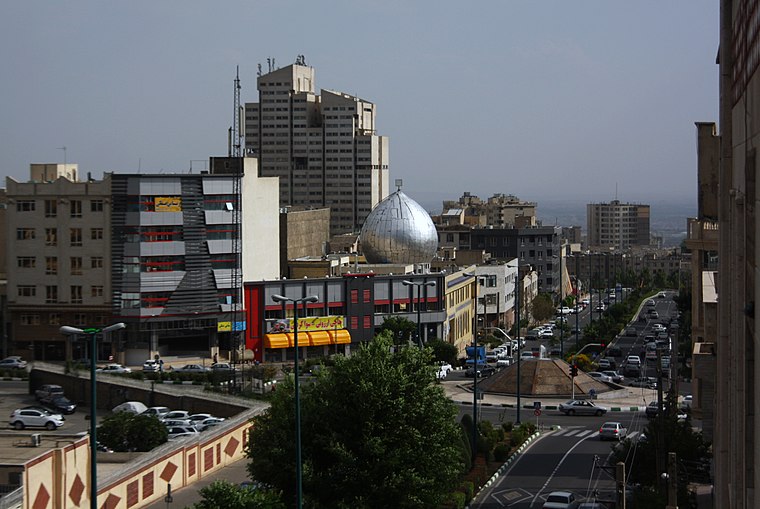
Photo: Blondin Rikard, CC BY 2.0.
Punak is a high-class and luxurious neighborhood in north Tehran, the capital city of Iran. The name of one of the most expensive and promising neighborhoods in the city of Tehran, located in the northwest. Punak is situated 3½ km northeast of دبیرستان شاهد پسرانه رجایی.
Almahdi - Simun Bolivar
Neighborhood
Simon Bolivar, also called Almahdi, is an affluent neighborhood in north western Tehran located on the hills of Alborz Mountains. Due to the latest census held in Tehran, the hood is home to 53000 people in a 1.36 square kilometers wide area. Almahdi - Simun Bolivar is situated 4 km north of دبیرستان شاهد پسرانه رجایی.
دبیرستان شاهد پسرانه رجایی
- Type: School
- Categories: building and education
- Location: Tehran, Central Iran, Iran, Middle East, Asia
- View on OpenStreetMap
Latitude
35.7403° or 35° 44′ 25″ northLongitude
51.31451° or 51° 18′ 52″ eastOpen location code
8H7HP8R7+4ROpenStreetMap ID
way 1025092027OpenStreetMap feature
amenity=schoolOpenStreetMap feature
building=yes
This page is based on OpenStreetMap, Wikidata, and Wikimedia Commons.
We’d love your help improving our open data sources. Thank you for contributing.
Satellite Map
Discover دبیرستان شاهد پسرانه رجایی from above in high-definition satellite imagery.
Notable Places Nearby
Highlights include اداره تامین اجتماعی شعبه ۲۸ تهران باغ فیض and شهربازی ژوپیتر.
Nearby Places
Explore places such as مدرسه شهيد مهديزاده and دبیرستان پسرانه شاهد شهید رجایی.
Tehran: Must-Visit Destinations
Delve into Tehran, Ray, Varamin, and Damavand.
Curious Schools to Discover
Uncover intriguing schools from every corner of the globe.
About Mapcarta. Data © OpenStreetMap contributors and available under the Open Database License". Text is available under the CC BY-SA 4.0 license, except for photos, directions, and the map. Photo: Wikimedia, CC0.