Food Packaging Direct
Food Packaging Direct is a building in Luton, England. Food Packaging Direct is situated nearby to Foxdell Infant School, as well as near St Peter’s Centre And Church.| Tap on a place to explore it |
Places of Interest Nearby
Highlights include Kenilworth Road and St Peter’s Centre And Church.
Kenilworth Road
Stadium
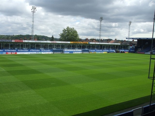
Photo: Barry Ephgrave, CC BY-SA 2.0.
Kenilworth Road, known affectionately as The Kenny, is a football stadium in the area of Bury Park, Luton, Bedfordshire, England. It has been the home ground of Luton Town Football Club since 1905. Kenilworth Road is situated 2,800 feet east of Food Packaging Direct.
St Peter’s Centre And Church
Church

Photo: Alex.brad, CC BY-SA 4.0.
St Peter’s Centre And Church is situated 950 feet southwest of Food Packaging Direct.
All Saints‘ Church
Church

Photo: Alex.brad, CC BY-SA 4.0.
All Saints‘ Church is situated 1,800 feet east of Food Packaging Direct.
Places in the Area
Nearby places include High Town and Caddington.
High Town
Suburb

Photo: Wikimedia, CC BY-SA 4.0.
High Town is an inner area of Luton immediately north of Luton railway station, and a ward of the Borough of Luton, in the ceremonial county of Bedfordshire, England.
Caddington
Village

Photo: Nigel Cox, CC BY-SA 2.0.
Caddington is a village and civil parish in the Central Bedfordshire district of Bedfordshire, England. The western border of the parish is Watling Street, to the west of which is Kensworth.
Limbury
Suburb

Photo: Nigel Cox, CC BY-SA 2.0.
Limbury is a suburb of Luton, in the Luton district, in the ceremonial county of Bedfordshire, England, and was formerly a village before Luton expanded around it. Limbury is situated 1½ miles north of Food Packaging Direct.
Food Packaging Direct
- Type: Building
- Location: Luton, England, United Kingdom, Britain and Ireland, Europe
- View on OpenStreetMap
Latitude
51.88522° or 51° 53′ 7″ northLongitude
-0.4438° or 0° 26′ 38″ westOpen location code
9C3XVHP4+3FOpenStreetMap ID
way 1025263653OpenStreetMap feature
building=yes
This page is based on OpenStreetMap, Wikidata, and Wikimedia Commons.
We’d love your help improving our open data sources. Thank you for contributing.
Satellite Map
Discover Food Packaging Direct from above in high-definition satellite imagery.
Notable Places Nearby
Highlights include Foxdell Infant School and Dallow Learning Community Centre.
Nearby Places
Explore places such as Felt House and Kosher Deli UK.
England: Must-Visit Destinations
Delve into London, Manchester, Sheffield, and Leeds.
Curious Buildings to Discover
Uncover intriguing buildings from every corner of the globe.
About Mapcarta. Data © OpenStreetMap contributors and available under the Open Database License". Text is available under the CC BY-SA 4.0 license, except for photos, directions, and the map. Photo: Bodrogikg, CC BY-SA 4.0.