Lough Atalia Viaduct
Lough Atalia Viaduct is a bridge in Galway, Connacht. Lough Atalia Viaduct is situated nearby to the government office Revenue Commissioners, as well as near the community center St Patrick’s Band Society.| Tap on a place to explore it |
Places of Interest Nearby
Highlights include Galway Ceannt and Galway City Council.
Galway Ceannt
Railway station

Photo: calflier001, CC BY-SA 2.0.
Galway railway station is a railway station which serves the city of Galway in County Galway. The station itself is located in the centre of the city in Eyre Square. Galway Ceannt is situated 350 metres northwest of Lough Atalia Viaduct.
Galway City Council
Government office
Galway City Council is the local authority of the city of Galway, Ireland. As a city council, it is governed by the Local Government Act 2001. The council is responsible for housing and community, roads and transportation, urban planning and development, amenity and culture, and environment. Galway City Council is situated 430 metres north of Lough Atalia Viaduct.
Eyre Square
Park
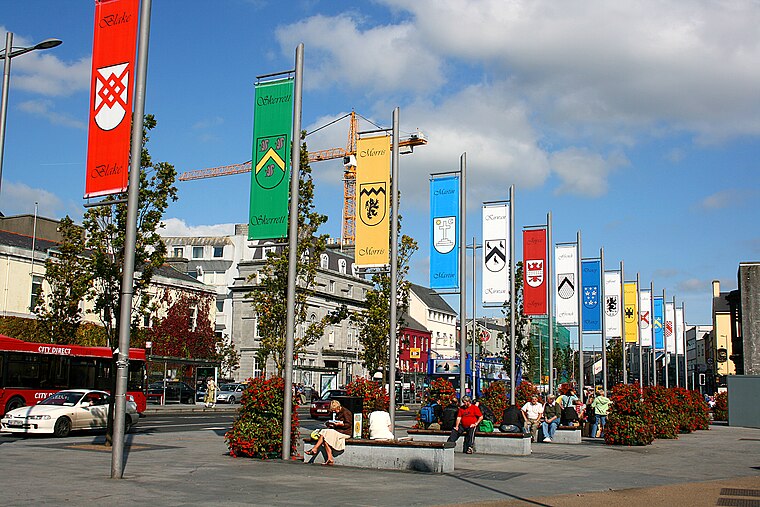
Photo: Eoin Gardiner, CC BY 2.0.
Eyre Square is a city public park in Galway, Ireland. The park is within the city centre, adjoining the nearby shopping area of William Street and Shop Street. Galway railway station is adjacent to Eyre Square.
Places in the Area
Nearby places include Claddagh and Salthill.
Claddagh
Suburb

Photo: Wikimedia, CC BY-SA 2.0.
The Claddagh is an area close to the centre of Galway, Ireland, where the River Corrib meets Galway Bay. It was formerly a fishing village, just outside the old city walls.
Salthill
Suburb

Photo: Arnold Unterholzner, CC BY 2.0.
Salthill is a seaside area to the southwest of Galway city centre in the west of Ireland. The area is home to a number of tourist amenities and there is a 2 km long promenade, locally known as "the Prom", which overlooks Galway Bay.
Menlo
Village

Photo: Sharonlflynn, CC BY-SA 4.0.
Menlo or Menlough is a village and townland in one of the Gaeltacht areas of County Galway, Ireland. It is located about 3 km north of the Galway city centre, near where Lough Corrib outflows into the River Corrib. Menlo is situated 4 km northwest of Lough Atalia Viaduct.
Lough Atalia Viaduct
- Type: Bridge
- Description: viaduct in County Galway, Ireland
- Categories: Viaduct and transportation
- Location: Galway, Connacht, Ireland, Britain and Ireland, Europe
- View on OpenStreetMap
Latitude
53.27216° or 53° 16′ 20″ northLongitude
-9.04308° or 9° 2′ 35″ westOpen location code
9C5G7XC4+VQOpenStreetMap ID
way 1025661498OpenStreetMap feature
man_made=bridgeWikidata ID
Q55049919
This page is based on OpenStreetMap, Wikidata, and Wikimedia Commons.
We’d love your help improving our open data sources. Thank you for contributing.
Satellite Map
Discover Lough Atalia Viaduct from above in high-definition satellite imagery.
Notable Places Nearby
Highlights include Revenue Commissioners and St Patrick’s Band Society.
Nearby Places
Explore places such as EZ Living and Galway Ceannt.
Ireland: Must-Visit Destinations
Delve into Dublin, Cork, Limerick, and Waterford.
Curious Bridges to Discover
Uncover intriguing bridges from every corner of the globe.
About Mapcarta. Data © OpenStreetMap contributors and available under the Open Database License". Text is available under the CC BY-SA 4.0 license, except for photos, directions, and the map. Photo: Massimo Telò, CC BY-SA 3.0.