West Parcel
West Parcel is a grassland in Los Angeles, Southern California, California. West Parcel is situated nearby to the nature reserve Mt. SAC Wildlife Sanctuary, as well as near the pitch Softball Field 45SB.| Tap on a place to explore it |
Places of Interest Nearby
Highlights include Hilmer Lodge Stadium and Suzanne Middle School.
Hilmer Lodge Stadium
Stadium

Photo: Wikimedia, Public domain.
Hilmer Lodge Stadium on the Mt. San Antonio College campus in Walnut, California, is the athletic stadium for the community college and home to the Mt. Hilmer Lodge Stadium is situated 3,200 feet northeast of West Parcel.
Suzanne Middle School
School
The Walnut Valley Unified School District is located in the eastern portion of Los Angeles County and is a part of the Greater Los Angeles Area of the U.S. state of California. Suzanne Middle School is situated 1 mile south of West Parcel.
Walnut High School
School
Walnut High School is a public high school located at Walnut, California, among the San Jose Hills of the San Gabriel Valley in Southern California. Walnut High School is also located within the Walnut Valley Unified School District, which has also been ranked by sources to be one of the top public school districts in all of Southern California. Walnut High School is situated 1¼ miles south of West Parcel.
Places in the Area
Nearby places include Walnut and Diamond Bar.
Walnut
Town

Photo: sdb 86, CC BY-SA 2.0.
Walnut is a city in the eastern part of Los Angeles County in the U.S. state of California. According to the 2020 census, the city had a population of 28,430. Walnut is situated 2 miles southwest of West Parcel.
Diamond Bar
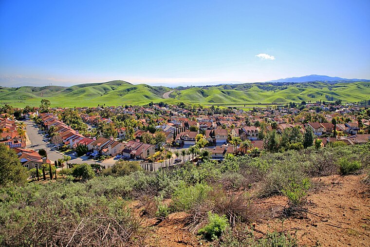
Photo: Thebluewriter, CC BY-SA 4.0.
Diamond Bar is a city in eastern Los Angeles County, California, United States. The 2020 census listed a population of 55,072. It is one of a few cities in California with a majority Asian population.
South San Jose Hills
Locality
South San Jose Hills is an unincorporated community and census-designated place in Los Angeles County, California, United States. The population was 19,855 at the 2020 census, down from 20,551 at the 2010 census. South San Jose Hills is situated 3½ miles southwest of West Parcel.
West Parcel
- Type: Grassland
- Location: Los Angeles, Southern California, California, United States, North America
- View on OpenStreetMap
Latitude
34.04031° or 34° 2′ 25″ northLongitude
-117.84492° or 117° 50′ 42″ westOpen location code
856425R4+42OpenStreetMap ID
way 1029163400OpenStreetMap feature
landuse=grass
This page is based on OpenStreetMap, Wikidata, and Wikimedia Commons.
We’d love your help improving our open data sources. Thank you for contributing.
Satellite Map
Discover West Parcel from above in high-definition satellite imagery.
Notable Places Nearby
Highlights include Mt. SAC Wildlife Sanctuary and Softball Field 45SB.
Nearby Places
Explore places such as Petersen Amphitheater and Foothill Transit 194, 289.
Los Angeles: Must-Visit Destinations
Delve into Hollywood, San Gabriel Valley, San Fernando Valley, and Long Beach.
Curious Grasslands to Discover
Uncover intriguing grasslands from every corner of the globe.
About Mapcarta. Data © OpenStreetMap contributors and available under the Open Database License". Text is available under the CC BY-SA 4.0 license, except for photos, directions, and the map. Photo: Mfield, CC BY-SA 3.0.