Applied Research and Development (ARD)
Applied Research and Development (ARD) is an university building in Coconino County, Arizona which is located on South Knoles Drive. Applied Research and Development (ARD) is situated nearby to the marketplace Sprouts Farmers Market, as well as near the tourism office Riordan Mansion.| Tap on a place to explore it |
- Type: University building
- Also known as: “56”
- Address: 1395 South Knoles Drive, Flagstaff, AZ 86011
Places of Interest Nearby
Highlights include J Lawrence Walkup Skydome and Citizens Cemetery.
J Lawrence Walkup Skydome
Stadium

Photo: Derek.cashman, CC BY-SA 3.0.
The J. Lawrence Walkup Skydome is an indoor multipurpose stadium in the southwestern United States, located on the campus of Northern Arizona University in Flagstaff, Arizona. J Lawrence Walkup Skydome is situated 2,300 feet southeast of Applied Research and Development (ARD).
Citizens Cemetery
Cemetery
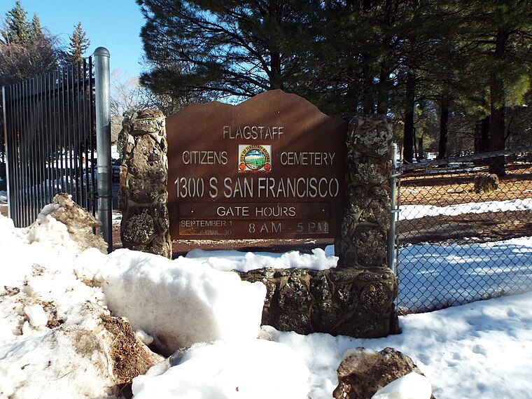
Photo: Marine 69-71, CC BY-SA 4.0.
Citizens Cemetery is situated 2,300 feet east of Applied Research and Development (ARD).
Orpheum Theater
Theater building
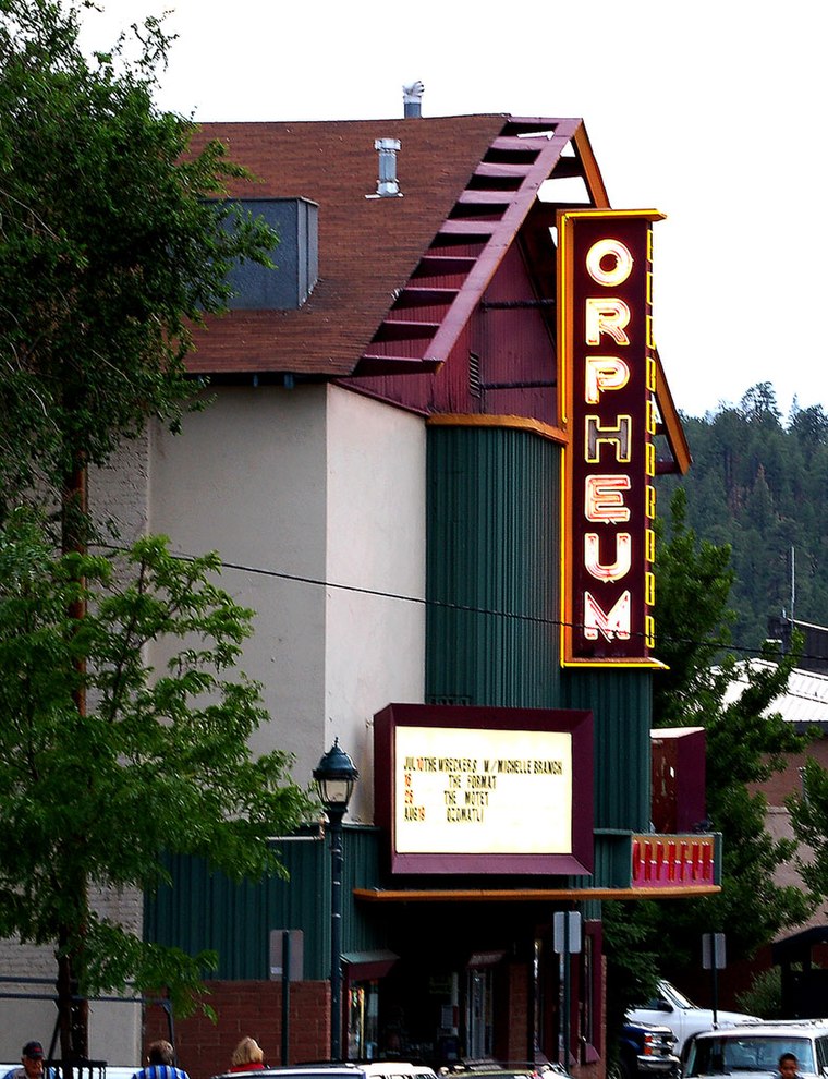
Photo: Derek.cashman, CC BY-SA 3.0.
The Orpheum Theater is an old movie house in Flagstaff, Arizona, originally named the Majestic Opera House. The building was constructed in 1911. It was rebuilt and expanded in 1917, and renamed the Orpheum. Orpheum Theater is situated 1 mile northeast of Applied Research and Development (ARD).
Places in the Area
Nearby places include Flagstaff and Fort Tuthill.
Flagstaff

Photo: StellarD, CC BY-SA 4.0.
Flagstaff is a city of over 75,000 people near the San Francisco Peaks mountain range of northern Arizona and the Grand Canyon. At an altitude of 6,990 ft, Flagstaff and much of the surrounding region are substantially cooler than the low desert that dominates the southern part of the state.
Fort Tuthill
Locality
Fort Tuthill is a former National Guard training facility and a county park situated in Coconino County, Arizona. It has an estimated elevation of 6,995 feet above sea level. The fort is listed on the National Register of Historic Places. Fort Tuthill is situated 3½ miles southwest of Applied Research and Development (ARD).
Riordan
Locality
Riordan was a populated place situated in Coconino County, Arizona, United States. It has an estimated elevation of 7,316 feet above sea level. Riordan was once the site of a train depot, lumber mills, a bunkhouse, post office, school, and store, but little remains today. Riordan is situated 4½ miles west of Applied Research and Development (ARD).
Applied Research and Development (ARD)
- Categories: building and education
- Location: Coconino County, Arizona, Southwest, United States, North America
- View on OpenStreetMap
Latitude
35.18517° or 35° 11′ 7″ northLongitude
-111.65809° or 111° 39′ 29″ westLevels
3Operator
Northern Arizona UniversityOpen location code
857C58PR+3QOpenStreetMap ID
way 1029360068OpenStreetMap feature
building=university
This page is based on OpenStreetMap, Wikidata, and Wikimedia Commons.
We’d love your help improving our open data sources. Thank you for contributing.
Satellite Map
Discover Applied Research and Development (ARD) from above in high-definition satellite imagery.
Notable Places Nearby
Highlights include Sprouts Farmers Market and Riordan Mansion.
Nearby Places
Explore places such as Information Systems Annex and Ulta Beauty.
Arizona: Must-Visit Destinations
Delve into Phoenix, Tucson, Mesa, and Flagstaff.
Curious Places to Discover
Uncover intriguing places from every corner of the globe.
About Mapcarta. Data © OpenStreetMap contributors and available under the Open Database License". Text is available under the CC BY-SA 4.0 license, except for photos, directions, and the map. Photo: Tobi 87, CC BY-SA 3.0.