Ernst-Loeb-Platz
Ernst-Loeb-Platz is a square in Andernach, Mayen-Koblenz, Rhineland-Palatinate. Ernst-Loeb-Platz is situated nearby to the city gate Rheintor, as well as near the museum Geyser information centre.| Tap on a place to explore it |
Places of Interest Nearby
Highlights include Round Tower and Stadtburg Andernach.
Round Tower

Photo: Schaengel, CC BY-SA 3.0.
The Round Tower is a large defensive tower in Andernach, Germany, the town's keep and schauinsland. The castle and the town walls were called that because they provided a far look into the surrounding country to see enemy troops approaching in time. Round Tower is situated 350 metres west of Ernst-Loeb-Platz.
Stadtburg Andernach

Photo: Schaengel, CC BY-SA 3.0.
Stadtburg Andernach is situated 370 metres southeast of Ernst-Loeb-Platz.
Christuskirche (Andernach)
Church

Photo: Chris06, CC BY-SA 4.0.
Christuskirche (Andernach) is a church, which is situated 250 metres southeast of Ernst-Loeb-Platz.
Places in the Area
Nearby places include Andernach and Fahr.
Andernach
Town
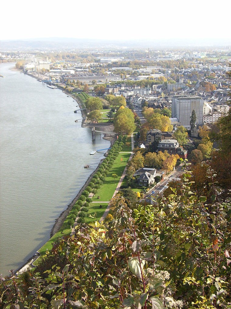
Photo: Maus-Trauden, CC BY-SA 3.0.
Andernach is a town in the district of Mayen-Koblenz, in Rhineland-Palatinate, Germany, of about 30,000 inhabitants. It is situated towards the end of the Neuwied basin on the left bank of the Rhine between the former tiny fishing village of Fornich in the…
Fahr
Locality

Photo: Frila, CC BY-SA 3.0.
The ancient village of Fahr bordering the Rhine river is today part of the Feldkirchen district belonging to the town of Neuwied in northern Rhineland-Palatinate, Germany.
Gönnersdorf
Neighborhood
The village of Gönnersdorf, Rhineland-Palatinate, Germany, extends on the hills north of the Rhine above the village of Fahr, which lies directly on the river.
Ernst-Loeb-Platz
- Type: Square
- Category: locality
- Location: Andernach, Mayen-Koblenz, Rhineland-Palatinate, Germany, Central Europe, Europe
- View on OpenStreetMap
Latitude
50.44127° or 50° 26′ 29″ northLongitude
7.40108° or 7° 24′ 4″ eastOpen location code
9F29CCR2+GCOpenStreetMap ID
way 1029890956OpenStreetMap feature
place=square
This page is based on OpenStreetMap, Wikidata, and Wikimedia Commons.
We’d love your help improving our open data sources. Thank you for contributing.
Satellite Map
Discover Ernst-Loeb-Platz from above in high-definition satellite imagery.
Notable Places Nearby
Highlights include Rheintor and Geyser information centre.
Nearby Places
Explore places such as Hotel ‘Zum Anker’ and Hotel Rheinkrone.
Rhineland-Palatinate: Must-Visit Destinations
Delve into Mainz, Trier, Koblenz, and Worms.
Curious Squares to Discover
Uncover intriguing squares from every corner of the globe.
About Mapcarta. Data © OpenStreetMap contributors and available under the Open Database License". Text is available under the CC BY-SA 4.0 license, except for photos, directions, and the map. Photo: Traveler100, CC BY-SA 3.0.