Freiwillige Feuerwehr Lassendorf
Freiwillige Feuerwehr Lassendorf is a building in Gitschtal, Hermagor District, Carinthia. Freiwillige Feuerwehr Lassendorf is situated nearby to the peak Kohlriegel, as well as near Rossmannbichl.| Tap on a place to explore it |
Places of Interest Nearby
Highlights include Pfarrkirche Sankt Lorenzen im Gitschtal and Mittagsnock.
Pfarrkirche Sankt Lorenzen im Gitschtal
Church
 Pfarrkirche Sankt Lorenzen im Gitschtal is a church, which is situated 1 km north of Freiwillige Feuerwehr Lassendorf.
Mittagsnock
Peak
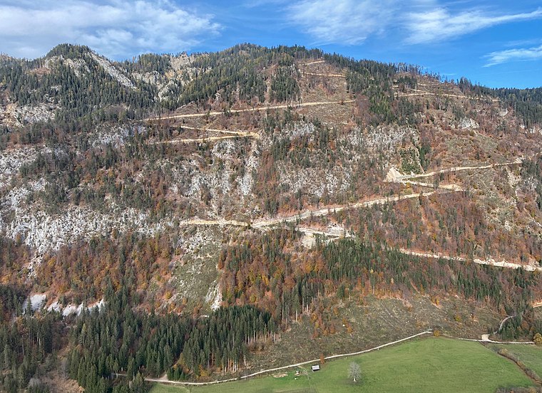
Photo: Hangman’sDeath, CC0.
Mittagsnock is a peak, which is situated 3½ km northwest of Freiwillige Feuerwehr Lassendorf.
Places in the Area
Nearby places include Watschig and Tröpolach.
Watschig
Village

Photo: Johann Jaritz, CC BY-SA 4.0.
Watschig is a village, which is situated 4½ km south of Freiwillige Feuerwehr Lassendorf.
Tröpolach
Village

Photo: Pnapora, CC BY-SA 4.0.
Tröpolach is a village, which is situated 6 km southwest of Freiwillige Feuerwehr Lassendorf.
Hermagor
Town
 Hermagor is a town, which is situated 6 km southeast of Freiwillige Feuerwehr Lassendorf.
Freiwillige Feuerwehr Lassendorf
- Type: Building
- Address: 27, Lassendorf, Gitschtal, 9620
- Location: Gitschtal, Hermagor District, Carinthia, Austria, Central Europe, Europe
- View on OpenStreetMap
Latitude
46.66146° or 46° 39′ 41″ northLongitude
13.31053° or 13° 18′ 38″ eastOpen location code
8FRMM866+H6OpenStreetMap ID
way 103066150OpenStreetMap feature
building=yes
This page is based on OpenStreetMap, Wikidata, and Wikimedia Commons.
We’d love your help improving our open data sources. Thank you for contributing.
Satellite Map
Discover Freiwillige Feuerwehr Lassendorf from above in high-definition satellite imagery.
Notable Places Nearby
Highlights include Mühlgrabenwasserfall and Cappelle.
Nearby Places
Explore places such as Jadersdorf Lassendorf and Bäckerei Hans Moritz.
Carinthia: Must-Visit Destinations
Delve into Klagenfurt, Villach, Wörthersee, and Spittal an der Drau.
Curious Buildings to Discover
Uncover intriguing buildings from every corner of the globe.
About Mapcarta. Data © OpenStreetMap contributors and available under the Open Database License". Text is available under the CC BY-SA 4.0 license, except for photos, directions, and the map. Photo: Wikimedia, CC BY-SA 3.0.