Place Simon Gathoye
Place Simon Gathoye is a square in Verviers, Liège, Wallonia. Place Simon Gathoye is situated nearby to the church Église Saint-Roch, as well as near Mosquée Kobaa.| Tap on a place to explore it |
Places of Interest Nearby
Highlights include Église Saint-Roch and Église Notre-Dame des Recollets, Verviers.
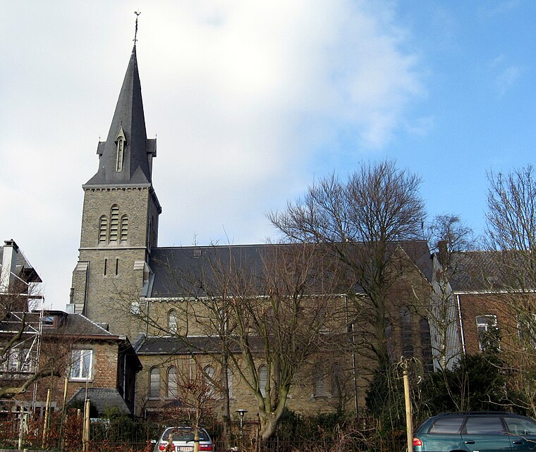
Église Saint-Roch
Church

Photo: Sonuwe, CC BY-SA 3.0.
Église Saint-Roch is a church, which is situated 280 metres west of Place Simon Gathoye.
Église Notre-Dame des Recollets, Verviers
Church

Photo: Loupi, Public domain.
Église Notre-Dame des Recollets, Verviers is a church, which is situated 580 metres south of Place Simon Gathoye.
Verviers Town Hall
Town hall

Photo: EmDee, CC BY-SA 3.0.
Verviers Town Hall is situated 1 km southeast of Place Simon Gathoye.
Places in the Area
Nearby places include Dison and Lambermont.
Dison
Town

Photo: Flamenc, CC BY-SA 3.0.
Dison is a municipality of Wallonia located in the province of Liège, Belgium. On January 1, 2006, Dison had a total population of 14,243. The total area is 14.01 km. The municipality consists of the following districts: Andrimont and Dison.

Place Simon Gathoye
- Type: Square
- Category: locality
- Location: Verviers, Arrondissement of Verviers, Liège, Wallonia, Belgium, Benelux, Europe
- View on OpenStreetMap
Latitude
50.59908° or 50° 35′ 57″ northLongitude
5.86001° or 5° 51′ 36″ eastOpen location code
9F27HVX6+J2OpenStreetMap ID
way 1036886660OpenStreetMap feature
place=square
This page is based on OpenStreetMap, Wikidata, and Wikimedia Commons.
We’d love your help improving our open data sources. Thank you for contributing.
Satellite Map
Discover Place Simon Gathoye from above in high-definition satellite imagery.
Notable Places Nearby
Highlights include Mosquée Kobaa and Temple antoiniste.
Nearby Places
Explore places such as Andrimont Place S. Gathoye and École Fonds-de-Loup (annexe).
Curious Squares to Discover
Uncover intriguing squares from every corner of the globe.
About Mapcarta. Data © OpenStreetMap contributors and available under the Open Database License". Text is available under the CC BY-SA 4.0 license, except for photos, directions, and the map. Photo: EmDee, CC BY-SA 3.0.