Parque Alerces
Parque Alerces is a nature reserve in Miguel Hidalgo Borough, Mexico City. Parque Alerces is situated nearby to the neighborhood Colonia Lomas de Tecamachalco, Sección Bosques, as well as near Bosques de las Lomas.| Tap on a place to explore it |
Places of Interest
Highlights include Embassy of Hungary and Embassy of Peru.
Embassy of Hungary
Government office

Photo: Aquintero82, CC BY-SA 4.0.
Embassy of Hungary is a government office.
Embassy of Peru
Government office

Photo: Aquintero82, CC BY-SA 4.0.
Embassy of Peru is a government office.
Embassy of Argentina
Government office
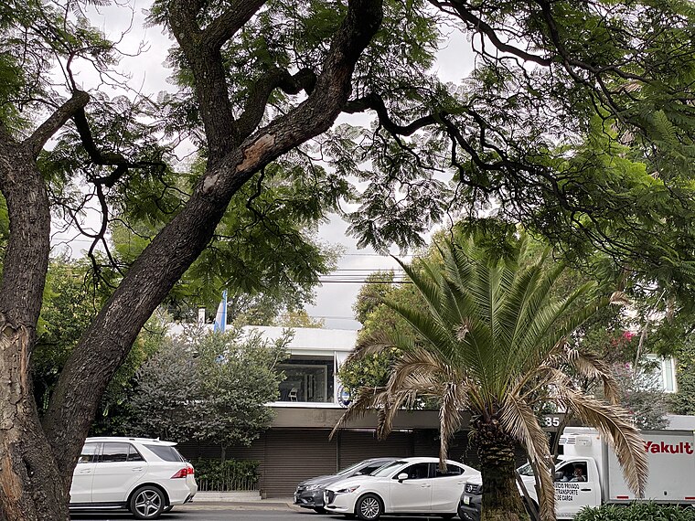
Photo: Aquintero82, CC BY-SA 4.0.
Embassy of Argentina is a government office.
Places in the Area
Nearby places include Santa Fe and Polanco.
Santa Fe

Photo: Serge Saint, CC BY 2.0.
Santa Fe is in the western area of Mexico City. It is the newest and most modern district of the city, as almost all of it has been developed only in the past twenty years; this puts this district in stark contrast with Mexico City's other districts, especially the Centro Historico.
Polanco

Photo: Matthew Rutledge, CC BY 2.0.
Polanco refers to an area of Mexico City north of Chapultepec Park. This district is delimited by Paseo de la Reforma to the south, Boulevard Manuel Avila Camacho to the west, Avenida Ejercito Nacional to the north and Avenida Mariano Escobedo to the east.
Bosques de las Lomas
Neighborhood
Bosques de las Lomas is a colonia, or officially recognised neighbourhood, located in western Mexico City. It falls partly in Cuajimalpa borough and partly in Miguel Hidalgo borough.
Parque Alerces
- Type: Nature reserve
- Category: recreation area
- Location: Miguel Hidalgo Borough, Mexico City, Central Mexico, Mexico, North America
- View on OpenStreetMap
Latitude
19.4046° or 19° 24′ 17″ northLongitude
-99.2475° or 99° 14′ 51″ westOpen location code
76F2CQ32+RXOpenStreetMap ID
way 1043601096OpenStreetMap feature
leisure=nature_reserve
This page is based on OpenStreetMap, Wikidata, and Wikimedia Commons.
We’d love your help improving our open data sources. Thank you for contributing.
Satellite Map
Discover Parque Alerces from above in high-definition satellite imagery.
Localities in the Area
Explore places such as Colonia Lomas de Tecamachalco, Sección Bosques and Lomas de Tecamachalco, Sección Cumbres.
Notable Places Nearby
Highlights include Embassy of Azerbaijan and Parque Duraznos.
Mexico City: Must-Visit Destinations
Delve into Centro, Xochimilco, Coyoacán, and Condesa and Roma.
Curious Nature Reserves to Discover
Uncover intriguing nature reserves from every corner of the globe.
About Mapcarta. Data © OpenStreetMap contributors and available under the Open Database License". Text is available under the CC BY-SA 4.0 license, except for photos, directions, and the map. Photo: Wikimedia, CC BY 2.0.