Subestação de Varosa
Subestação de Varosa is an electrical substation in Cambres, Lamego, Viseu District. Subestação de Varosa is situated nearby to the power station Central Hidroelétrica de Varosa, as well as near the town Cambres.| Tap on a place to explore it |
Places of Interest Nearby
Highlights include Régua railway station and Museu do Douro.
Régua railway station
Railway station

Photo: Nuno Morão, CC BY-SA 2.0.
The Régua railway station previously known as Regoa railway station, is a station on the Douro Line, which serves the town of Peso da Régua, in the District of Vila Real, in Portugal. Régua railway station is situated 2 km north of Subestação de Varosa.
Museu do Douro
Museum
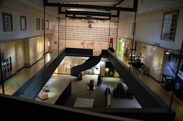
Photo: Michael Gaylard, CC BY 2.0.
Museu do Douro is a museum, which is situated 2½ km northwest of Subestação de Varosa.
Estação Ferroviária de Godim
Railway station

Photo: JP Ribeiro, CC BY-SA 4.0.
Estação Ferroviária de Godim is a railway station, which is situated 3½ km northwest of Subestação de Varosa.
Places in the Area
Nearby places include Cambres and Peso da Régua.
Cambres
Town
Cambres is a town in Portugal. It is a parish of Lamego Municipality. The population in 2011 was 2,066, in an area of 11.28 km2. Cambres is situated 2½ km southwest of Subestação de Varosa.
Peso da Régua

Photo: Gary J. Wood, CC BY-SA 2.0.
Peso da Régua is a city of about 17,000 people in the Trás-os-Montes e Alto Douro region in Northern Portugal. The production of Port wine has been essential to the town's fortunes.
Ferreiros de Avões
Village

Photo: Mind Booster Noori, CC BY-SA 4.0.
Ferreiros de Avões is a village, which is situated 4 km southwest of Subestação de Varosa.
Subestação de Varosa
- Type: Electrical substation
- Category: industry
- Location: Cambres, Lamego, Viseu District, Portugal, Iberia, Europe
- View on OpenStreetMap
Latitude
41.14085° or 41° 8′ 27″ northLongitude
-7.77596° or 7° 46′ 34″ westOperator
E-REDESOpen location code
8CHJ46RF+8JOpenStreetMap ID
way 1051222400OpenStreetMap feature
landuse=industrial
This page is based on OpenStreetMap, Wikidata, and Wikimedia Commons.
We’d love your help improving our open data sources. Thank you for contributing.
Satellite Map
Discover Subestação de Varosa from above in high-definition satellite imagery.
Notable Places Nearby
Highlights include Central Hidroelétrica de Varosa and Quinta Branca.
Nearby Places
Explore places such as Subestação da Central Hidroelétrica de Varosa and Grupo 3.
Portugal: Must-Visit Destinations
Delve into Lisbon, Caldas da Rainha, Porto, and Coimbra.
Curious Electrical Substations to Discover
Uncover intriguing electrical substations from every corner of the globe.
About Mapcarta. Data © OpenStreetMap contributors and available under the Open Database License". Text is available under the CC BY-SA 4.0 license, except for photos, directions, and the map. Photo: Paulo Monteiro, Public domain.