Blake’s Farm
Blake’s Farm is a farm in Wembdon, Sedgemoor District, England. Blake’s Farm is situated nearby to the spring Holy Well, as well as near Wembdon Playground.| Tap on a place to explore it |
Places of Interest Nearby
Highlights include St George’s Church and Bridgwater Arts Centre.
St George’s Church
Church

Photo: Barbara Cook, CC BY-SA 2.0.
The Anglican St George's Church was founded in the 13th century in the village of Wembdon within the English county of Somerset. The current building dates from the 14th and 15th century but was largely rebuilt in 1868 after a fire. St George’s Church is situated 1,900 feet east of Blake’s Farm.
Bridgwater Arts Centre
Arts center
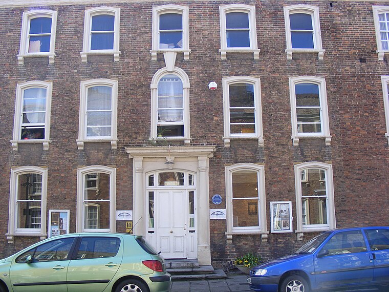
Photo: Rodw, Public domain.
Bridgwater Arts Centre is an arts center, which is situated 1¼ miles southeast of Blake’s Farm.
Church of the Holy Trinity
Church

Photo: Ken Grainger, CC BY-SA 2.0.
The Anglican Church of the Holy Trinity at Chilton Trinity in the English county of Somerset was established in the 13th century. It is a Grade II* listed building. Church of the Holy Trinity is situated 1 mile northeast of Blake’s Farm.
Places in the Area
Nearby places include Bridgwater and Durleigh.
Bridgwater

Photo: Alex Liivet, CC0.
Bridgwater is a town in Somerset. Notable buildings include the Church of St Mary and Blake Museum, which is a largely restored house in Blake Street and was the birthplace of Admiral Blake in 1598.
Durleigh
Hamlet

Photo: Andrew Riley, CC BY-SA 2.0.
Durleigh is a village and civil parish on the outskirts of Bridgwater in Somerset, England. According to the 2011 Census, it had a population of 548. Its nearest town is Bridgwater, which lies approximately 1.6 miles north-east from the village.
Dunball
Hamlet
Dunball is a small hamlet west of the village of Puriton and close to the town of Bridgwater, Somerset, England. Just north of Dunball is Down End which is the site of Down End Castle a motte-and-bailey castle, which has been designated as a Scheduled Ancient Monument. Dunball is situated 2½ miles northeast of Blake’s Farm.
Blake’s Farm
- Type: Farm
- Category: agriculture
- Location: Wembdon, Sedgemoor District, Somerset, West Country, England, United Kingdom, Britain and Ireland, Europe
- View on OpenStreetMap
Latitude
51.13837° or 51° 8′ 18″ northLongitude
-3.02471° or 3° 1′ 29″ westOpen location code
9C3R4XQG+84OpenStreetMap ID
way 1057183350OpenStreetMap feature
landuse=farmyard
This page is based on OpenStreetMap, Wikidata, and Wikimedia Commons.
We’d love your help improving our open data sources. Thank you for contributing.
Satellite Map
Discover Blake’s Farm from above in high-definition satellite imagery.
Places with the Same Name
Discover other places named “Blake’s Farm”.
Notable Places Nearby
Highlights include Holy Well and Wembdon Playground.
Nearby Places
Explore places such as Blakes Farm and Grabham’s Farm.
Somerset: Must-Visit Destinations
Delve into Bristol, Bath, Wells, and Taunton.
Curious Farms to Discover
Uncover intriguing farms from every corner of the globe.
About Mapcarta. Data © OpenStreetMap contributors and available under the Open Database License". Text is available under the CC BY-SA 4.0 license, except for photos, directions, and the map. Photo: matthewhartley369, CC BY-SA 2.0.