Preston Bridge School
Preston Bridge School is a school in Torbay, England which is located on Lower Polsham Road. Preston Bridge School is situated nearby to Christ Church, as well as near the pub The Polsham Arms.| Tap on a place to explore it |
Places of Interest Nearby
Highlights include Christ Church and Oldway Mansion.
Christ Church
Church

Photo: Richard Dorrell, CC BY-SA 2.0.
Christ Church is a Church of England, Evangelical parish church in Paignton, Devon, England. Designed by Walter G. Couldrey and Edward Gabriel, the church was built in 1887–88 and has been a Grade II listed building since 1993.
Oldway Mansion

Photo: Tom Jolliffe, CC BY-SA 2.0.
Oldway Mansion is a large house and gardens in Paignton, Devon, England. It was built as a private residence for Isaac Singer, and rebuilt by his son Paris Singer, in the style of the Palace of Versailles. Oldway Mansion is situated 1,100 feet north of Preston Bridge School.
Paignton railway station
Railway station

Photo: Ianmacm, CC BY-SA 3.0.
Paignton railway station serves the town and seaside resort of Paignton in Devon, England. It is 222 miles 12 chains from London Paddington, via Box. It opened in 1859 and is now the terminus of Riviera Line services from Exeter and heritage services on the Dartmouth Steam Railway from Kingswear. Paignton railway station is situated 2,100 feet south of Preston Bridge School.
Places in the Area
Nearby places include Paignton and Preston.
Paignton
 Paignton is a seaside town in the Torbay area of the English Riviera and South Devon region of Devon. The town, which has a history as a fishing village but is also on the railway line, is home to the well-known Paignton Zoo.
Preston
Suburb

Photo: Derek Harper, CC BY-SA 2.0.
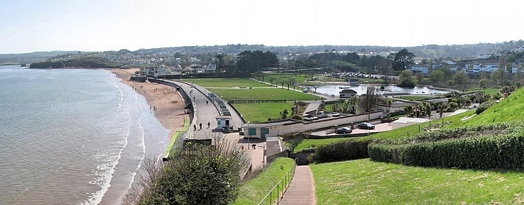
Preston is a suburb located in the northern part of Paignton in Devon. Preston is a popular destination for family holidays and has two main beaches; Hollicombe, a red sandy beach with cliffs and rock pools, and Preston Sands with rock pools, beach huts and facilities.
Goodrington
Suburb
 Goodrington is an area of Paignton in Devon, England. It is situated in Tor Bay and lies between Paignton town centre and Brixham, less than 1 mile south of central Paignton. Its beach is known as Goodrington Sands.
Preston Bridge School
- Type: School
- Address: 1 Lower Polsham Road, Paignton, TQ3 2AF
- Category: education
- Location: Torbay, England, United Kingdom, Britain and Ireland, Europe
- View on OpenStreetMap
Latitude
50.4402° or 50° 26′ 25″ northLongitude
-3.56606° or 3° 33′ 58″ westOpen location code
9C2RCCRM+3HOpenStreetMap ID
way 1058963500OpenStreetMap feature
amenity=school
This page is based on OpenStreetMap, Wikidata, and Wikimedia Commons.
We’d love your help improving our open data sources. Thank you for contributing.
Satellite Map
Discover Preston Bridge School from above in high-definition satellite imagery.
Notable Places Nearby
Highlights include The Polsham Arms and Sacred Heart Catholic School.
Nearby Places
Explore places such as Preston Bridge School and Home Delivery Lunch.
England: Must-Visit Destinations
Delve into London, Manchester, Sheffield, and Leeds.
Curious Schools to Discover
Uncover intriguing schools from every corner of the globe.
About Mapcarta. Data © OpenStreetMap contributors and available under the Open Database License". Text is available under the CC BY-SA 4.0 license, except for photos, directions, and the map. Photo: sidibousaid, CC BY 2.0.