Church of Saint Nicholas in Saburovo
Church of Saint Nicholas in Saburovo is a church in Moscow, Moscow Oblast which is located on Каширское шоссе. Church of Saint Nicholas in Saburovo is situated nearby to the sports venue Сабуровец, as well as near the library Библиотека №167.| Tap on a place to explore it |
Photo: A.Savin, CC BY-SA 3.0.
- Type: Church
- Denomination: Orthodox
- Description: church building in Moscow, Russia
- Also known as: “Храм святителя Николая в Сабурове”
- Address: Каширское шоссе 59 к4
Places of Interest Nearby
Highlights include Saburovsky Rail Bridges and Kuryanovo.
Saburovsky Rail Bridges
Bridge

Photo: A.Savin, CC BY-SA 3.0.
Saburovsky Rail Bridges are two adjacent steel bridges that span Moskva River in southern Moskvorechye-Saburovo District of Moscow, Russia. They were completed in 1924 and 1953, when Saburovo was a remote suburb of Moscow. Saburovsky Rail Bridges is situated 580 metres northwest of Church of Saint Nicholas in Saburovo.
Kuryanovo
Railway station

Photo: Brateevsky, CC BY-SA 4.0.
Kuryanovo is a railway station of Moscow Railway's Kurskaya line as well as Line D2 of the Moscow Central Diameters in Moscow. It was opened in 2020. Kuryanovo is situated 1¼ km north of Church of Saint Nicholas in Saburovo.
Moskvorechye
Railway stop

Photo: Artyom Svetlov, CC BY-SA 4.0.
Moskvorechye is a railway stop, which is situated 660 metres west of Church of Saint Nicholas in Saburovo.
Places in the Area
Nearby places include Moskvorechye-Saburovo District and Orekhovo-Borisovo Severnoye District.
Moskvorechye-Saburovo District
Suburb

Photo: A.Savin, CC BY-SA 3.0.
Moskvorechye-Saburovo District is an administrative district of Southern Administrative Okrug, and one of the 125 raions of Moscow, Russia. The area of the district is 9.30 square kilometers.
Orekhovo-Borisovo Severnoye District
Suburb

Photo: Brateevsky, CC BY-SA 4.0.
Orekhovo-Borisovo Severnoye District, commonly known as Orekhovo-Borisovo, is a district in Southern Administrative Okrug of Moscow, Russia, located on the spot of former villages of Orekhovo, Borisovo, Shipilovo, Zyablikovo, and Brateyevo.
Maryino District
Suburb
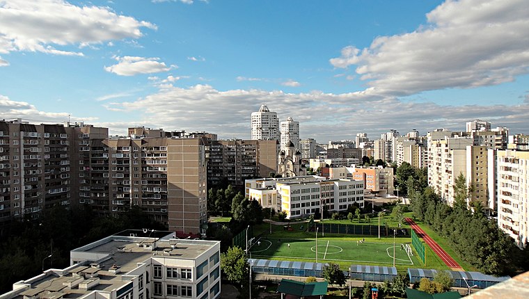
Photo: Алексей Павлов, CC BY-SA 3.0.
Maryino is a district of South-Eastern Administrative Okrug of the federal city of Moscow, Russia. Its area is 11.917 square kilometres. Population: 252,597; 247,479 ; 206,388 . It is the most populated district of Moscow. Maryino District is situated 2½ km northeast of Church of Saint Nicholas in Saburovo.
Church of Saint Nicholas in Saburovo
- Categories: architectural landmark, building, place of worship, and religion
- Location: Moscow, Moscow Oblast, Central Russia, Russia, Eastern Europe, Europe
- View on OpenStreetMap
Latitude
55.63974° or 55° 38′ 23″ northLongitude
37.70015° or 37° 42′ 1″ eastOpen location code
9G7VJPQ2+V3OpenStreetMap ID
way 105906642OpenStreetMap feature
amenity=place_of_worshipOpenStreetMap feature
building=yesOpenStreetMap attribute
denomination=orthodoxWikidata ID
Q401590
This page is based on OpenStreetMap, Wikidata, and Wikimedia Commons.
We’d love your help improving our open data sources. Thank you for contributing.
Satellite Map
Discover Church of Saint Nicholas in Saburovo from above in high-definition satellite imagery.
In Other Languages
From Dutch to Russian—“Church of Saint Nicholas in Saburovo” goes by many names.
- Dutch: “Nicolaaskerk in Saboerovo”
- Dutch: “Nicolaaskerk in Saburovo”
- Georgian: “მოსკოვის ნიკოლოზ საკვირველთმოქმედის ტაძარი (საბუროვო)”
- Georgian: “მოსკოვის ნიკოლოზ საკვირველთმოქმედის ტაძარი”
- Polish: “Cerkiew św. Mikołaja w Moskwie”
- Russian: “Храм Святителя Николая в Сабурове”
- Russian: “Храм святителя Николая в Сабурово”
Notable Places Nearby
Highlights include Сабуровец and Библиотека №167.
Nearby Places
Explore places such as Детский сад № 1767 and Детский сад № 1768.
Moscow: Must-Visit Destinations
Delve into Outskirts, Domodedovo International Airport, Sheremetyevo International Airport, and Central Moscow.
Curious Churches to Discover
Uncover intriguing churches from every corner of the globe.
About Mapcarta. Data © OpenStreetMap contributors and available under the Open Database License". Text is available under the CC BY-SA 4.0 license, except for photos, directions, and the map. Photo: A.Savin, CC BY-SA 3.0.