Satellit 8
Satellit 8 is a grassland in Norderstedt, Segeberg, Schleswig-Holstein. Satellit 8 is situated nearby to the grassland Spielkreis, as well as near Reitanlage am Rantzauer Forst.| Tap on a place to explore it |
Places of Interest Nearby
Highlights include Holmmoor and Norderstedt Mitte station.

Norderstedt Mitte station
Metro station

Photo: Wikimedia, CC BY-SA 2.5.
Norderstedt Mitte station is a railway station in Norderstedt, Germany. It is a terminus for the rapid transit trains of the line U1 of the Hamburg U-Bahn and connects the underground railway with the commuter trains of the AKN railway company line A2. Norderstedt Mitte station is situated 2½ km east of Satellit 8.
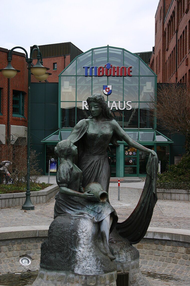
Die Bürger im Park
Work of art
 Die Bürger im Park is a work of art, which is situated 2 km east of Satellit 8.
Places in the Area
Nearby places include Norderstedt and Quickborn.
Norderstedt
Town
 Norderstedt is a city in Germany and part of the Hamburg Metropolitan Region, the fourth largest city in the federal state of Schleswig-Holstein, belonging to the Segeberg district.
Quickborn
Town
 Quickborn is a town in the district of Pinneberg, in Schleswig-Holstein, Germany. It belongs to Metropolregion Hamburg and is located on the north part of Hamburg on Autobahn A7. It is a 700 year old town which also belonged to Denmark in the past. Quickborn is situated 4 km northwest of Satellit 8.
Langenhorn
Suburb

Photo: Wikimedia, Public domain.
Langenhorn is a quarter in the borough Hamburg-Nord of Hamburg, Germany. In 2020 the population was 46,272. Langenhorn is situated 6 km southeast of Satellit 8.
Satellit 8
- Type: Grassland
- Location: Norderstedt, Segeberg, Schleswig-Holstein, Germany, Central Europe, Europe
- View on OpenStreetMap
Latitude
53.7113° or 53° 42′ 41″ northLongitude
9.95615° or 9° 57′ 22″ eastOpen location code
9F5FPX64+GFOpenStreetMap ID
way 1061514473OpenStreetMap feature
natural=grassland
This page is based on OpenStreetMap, Wikidata, and Wikimedia Commons.
We’d love your help improving our open data sources. Thank you for contributing.
Satellite Map
Discover Satellit 8 from above in high-definition satellite imagery.
Notable Places Nearby
Highlights include Spielkreis and Reitanlage am Rantzauer Forst.
Nearby Places
Explore places such as Voßbarch and Lehmkuhlen.
Schleswig-Holstein: Must-Visit Destinations
Delve into Kiel, Lübeck, Flensburg, and Heligoland.
Curious Grasslands to Discover
Uncover intriguing grasslands from every corner of the globe.
About Mapcarta. Data © OpenStreetMap contributors and available under the Open Database License". Text is available under the CC BY-SA 4.0 license, except for photos, directions, and the map. Photo: Ypsilon from Finland, CC0.