Инженерно-сапёрная рота
Инженерно-сапёрная рота is a military installation in Kabardino-Balkaria, North Caucasus. Инженерно-сапёрная рота is situated nearby to the church Церковь Иоанна Воина, as well as near the historic site БМД.| Tap on a place to explore it |
Places in the Area
Nearby places include Yanikoy and Kenzhe.
Yanikoy
Village

Photo: Muslimbek07, CC BY-SA 4.0.
Yanikoy is a village, which is situated 5 km north of Инженерно-сапёрная рота.
Kenzhe
Town
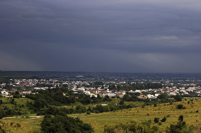
Photo: Siseys, CC BY-SA 4.0.
Kenzhe is a town, which is situated 5 km east of Инженерно-сапёрная рота.
Shalushka
Town

Photo: Chereck, CC BY-SA 4.0.
Shalushka is a town, which is situated 7 km northeast of Инженерно-сапёрная рота.
Инженерно-сапёрная рота
- Type: Military installation
- Also known as: “ИСР”
- Location: Kabardino-Balkaria, North Caucasus, Southern Russia, Russia, Eastern Europe, Europe
- View on OpenStreetMap
Latitude
43.50043° or 43° 30′ 2″ northLongitude
43.48723° or 43° 29′ 14″ eastOpen location code
8HM5GF2P+5VOpenStreetMap ID
way 1062396361OpenStreetMap feature
landuse=militaryOpenStreetMap feature
military=base
This page is based on OpenStreetMap, Wikidata, and Wikimedia Commons.
We’d love your help improving our open data sources. Thank you for contributing.
Satellite Map
Discover Инженерно-сапёрная рота from above in high-definition satellite imagery.
Notable Places Nearby
Highlights include Церковь Иоанна Воина and БМД.
Nearby Places
Explore places such as Штаб войсковой части 3723 and Дом офицеров.
North Caucasus: Must-Visit Destinations
Delve into Chechnya, North Ossetia, Ingushetia, and Karachay-Cherkessia.
Curious Military Installations to Discover
Uncover intriguing military installations from every corner of the globe.
About Mapcarta. Data © OpenStreetMap contributors and available under the Open Database License". Text is available under the CC BY-SA 4.0 license, except for photos, directions, and the map. Photo: Wikimedia, CC0.