Comunidad Cristiana Puerto Montt
Comunidad Cristiana Puerto Montt is a community center in Puerto Montt, Llanquihue Province, Los Lagos which is located on Avenida Monseñor Ramón Munita. Comunidad Cristiana Puerto Montt is situated nearby to the church Parroquia Nuestra Señora de Guadalupe, as well as near the government office Brigada de Delitos Económicos Puerto Montt.| Tap on a place to explore it |
Places of Interest Nearby
Highlights include Marcel Marchant Airport and Plaza de Armas Puerto Montt.
Marcel Marchant Airport
Aerodrome

Photo: Ivotoledo45, CC BY-SA 4.0.
Marcel Marchant Airport, is an airport in the northeast section of Puerto Montt, a port city in the Los Lagos Region of Chile. The runway is 2 kilometres inland from the Reloncaví Sound, and south approaches and departures are partially over the water.
Plaza de Armas Puerto Montt
Square
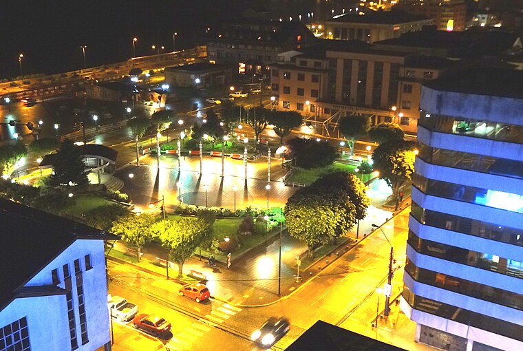
Photo: Rodolfo Ditzel Lacoa, CC BY-SA 3.0.
Plaza de Armas Puerto Montt is a square, which is situated 2 km southwest of Comunidad Cristiana Puerto Montt.
Iglesia de los Padres Jesuitas, Puerto Montt
Church

Photo: Ppn87, CC BY-SA 4.0.
Iglesia de los Padres Jesuitas, Puerto Montt is a church, which is situated 2 km southwest of Comunidad Cristiana Puerto Montt.
Places in the Area
Nearby places include Pelluco and Alerce.
Pelluco
Suburb

Photo: Ivotoledo45, CC BY-SA 4.0.
Pelluco is a suburb, which is situated 4 km southeast of Comunidad Cristiana Puerto Montt.
Alerce
Town
Alerce is a Chilean town in the communes of Puerto Montt and Puerto Varas in Llanquihue Province, Los Lagos Region. Alerce is situated 7 km north of Comunidad Cristiana Puerto Montt.
Comunidad Cristiana Puerto Montt
- Type: Community center
- Address: 556 Avenida Monseñor Ramón Munita, Puerto Montt
- Category: building
- Location: Puerto Montt, Llanquihue Province, Los Lagos, Southern Chile, Chile, South America
- View on OpenStreetMap
Latitude
-41.45686° or 41° 27′ 25″ southLongitude
-72.92983° or 72° 55′ 47″ westOpen location code
47C9G3VC+73OpenStreetMap ID
way 1064752419OpenStreetMap feature
amenity=community_centreOpenStreetMap feature
building=yes
This page is based on OpenStreetMap, Wikidata, and Wikimedia Commons.
We’d love your help improving our open data sources. Thank you for contributing.
Satellite Map
Discover Comunidad Cristiana Puerto Montt from above in high-definition satellite imagery.
Notable Places Nearby
Highlights include Parroquia Nuestra Señora de Guadalupe and Brigada de Delitos Económicos Puerto Montt.
Nearby Places
Explore places such as Centro Comunitario de Salud Familiar (CECOSF) Licarayen and CESCOF Lawen.
Los Lagos: Must-Visit Destinations
Delve into Puerto Varas, Chaitén, Frutillar, and Futaleufu.
Curious Community Centers to Discover
Uncover intriguing community centers from every corner of the globe.
About Mapcarta. Data © OpenStreetMap contributors and available under the Open Database License". Text is available under the CC BY-SA 4.0 license, except for photos, directions, and the map. Photo: HaSt, CC BY-SA 4.0.