Straßenmeisterei Ettlingen
Straßenmeisterei Ettlingen is in Ettlingen, Karlsruhe, Baden-Württemberg, and is located on Beim Runden Plom. Straßenmeisterei Ettlingen is situated nearby to the playground Ettlingen-West Spielplatz, as well as near Entenseepark.| Tap on a place to explore it |
Places of Interest Nearby
Highlights include Our Lady Church and Ettlingen West.
Our Lady Church
Church
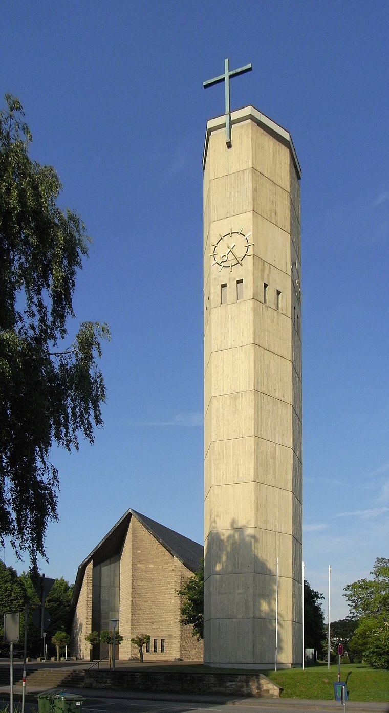
Photo: Aisano, CC BY-SA 3.0.
Our Lady Church is situated 1 km southeast of Straßenmeisterei Ettlingen.
Ettlingen West
Railway station

Photo: Sitacuisses, CC BY-SA 3.0 de.
Ettlingen West is a railway station, which is situated 1¼ km southeast of Straßenmeisterei Ettlingen.
Ettlingen Neuwiesenreben
Railway stop
 Ettlingen Neuwiesenreben is a railway stop, which is situated 2 km east of Straßenmeisterei Ettlingen.
Places in the Area
Nearby places include Rheinstetten and Spessart.
Rheinstetten
Town

Photo: DALIBRI, CC BY-SA 4.0.
Rheinstetten is a town in the west of Baden-Württemberg on the border to Rhineland-Palatinate. It is situated to the south-west of Karlsruhe and belongs to the rural district of Karlsruhe. Rheinstetten is situated 5 km west of Straßenmeisterei Ettlingen.
Spessart
Village

Photo: Elwood j blues, CC BY-SA 3.0.
Spessart is a village, which is situated 6 km southeast of Straßenmeisterei Ettlingen.
Karlsruhe

Photo: Ruhrfisch, CC BY-SA 3.0.
Karlsruhe is a city on the Rhine in Baden-Württemberg in Germany. It is in the north of the Black Forest, close to the French border. Karlsruhe is famous in Germany for both hosting two federal courts and being a major hub for science and technology.
Straßenmeisterei Ettlingen
- Type: Industry
- Address: Beim Runden Plom 7, Ettlingen, 76275
- Location: Ettlingen, Karlsruhe, Karlsruhe Region, Rhine-Neckar, Baden-Württemberg, Germany, Central Europe, Europe
- View on OpenStreetMap
Latitude
48.95286° or 48° 57′ 10″ northLongitude
8.37373° or 8° 22′ 25″ eastOperator
Landkreis KarlsruheOpen location code
8FWCX93F+4FOpenStreetMap ID
way 1066261099OpenStreetMap feature
landuse=industrial
This page is based on OpenStreetMap, Wikidata, and Wikimedia Commons.
We’d love your help improving our open data sources. Thank you for contributing.
Satellite Map
Discover Straßenmeisterei Ettlingen from above in high-definition satellite imagery.
Notable Places Nearby
Highlights include Ettlingen-West Spielplatz and Entenseepark.
Nearby Places
Explore places such as Union Bauzentrum Hornbach and Rettig & Köhler.
Rhine-Neckar: Must-Visit Destinations
Delve into Heidelberg, Karlsruhe, Mannheim, and Heilbronn.
Curious Places to Discover
Uncover intriguing places from every corner of the globe.
About Mapcarta. Data © OpenStreetMap contributors and available under the Open Database License". Text is available under the CC BY-SA 4.0 license, except for photos, directions, and the map. Photo: Martin-D, CC BY-SA 2.5.