Achates
Achates is a building in Wigan, England. Achates is situated nearby to the pitch Round Ash Park, as well as near Smithfield Stables.| Tap on a place to explore it |
Places of Interest Nearby
Highlights include The Progress With Unity Stadium and Pennington Mill Bridge.
The Progress With Unity Stadium
Stadium

Photo: Dave Green, CC BY-SA 2.0.
The Progress With Unity Stadium is a multi-use sports, retail and housing development in Leigh, Greater Manchester, England. The centrepiece of the development is a 12,000-capacity stadium which is home to professional rugby league team Leigh Leopards, the Manchester United Women's senior team, and Manchester United's men's Under-21 and Academy teams. The Progress With Unity Stadium is situated 1 mile north of Achates.
Pennington Mill Bridge
Bridge
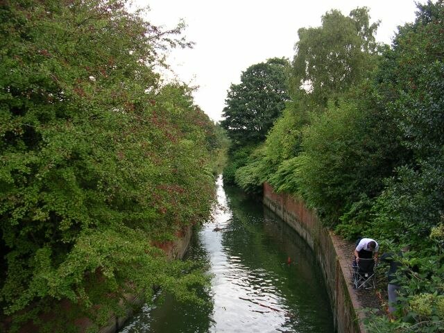
Photo: Keith Williamson, CC BY-SA 2.0.
Pennington Mill Bridge is situated 3,800 feet north of Achates.
Pennington Flash Country Park
Park

Photo: Ronald Saunders, CC BY-SA 2.0.
Pennington Flash Country Park is a 200-hectare country park located between Lowton and Leigh in Greater Manchester, England. Pennington Flash Country Park is situated 1 mile northwest of Achates.
Places in the Area
Nearby places include Leigh and Bedford.
Leigh
Town

Photo: Chris Allen, CC BY-SA 2.0.
Leigh is a town in the Wigan district, in Greater Manchester, England, on low-lying land northwest of Chat Moss. It is situated approximately 6 miles southeast of Wigan and 11 miles west of Manchester city centre.
Bedford
Suburb
Bedford is a suburb of Leigh, in the Wigan district, in the county of Greater Manchester, England. It was one of three ancient townships, Bedford, Pennington and Westleigh, that merged in 1875 to form the town of Leigh. Historically, Bedford was in Lancashire.
Fowley Common
Village

Photo: Anthony Parkes, CC BY-SA 2.0.
Fowley Common is a village, which is situated 1½ miles southeast of Achates.
Achates
- Type: Animal boarding
- Category: building
- Location: Wigan, England, United Kingdom, Britain and Ireland, Europe
- View on OpenStreetMap
Latitude
53.47794° or 53° 28′ 41″ northLongitude
-2.52398° or 2° 31′ 26″ westOpen location code
9C5VFFHG+5COpenStreetMap ID
way 1071267314OpenStreetMap feature
amenity=animal_boardingOpenStreetMap feature
building=yes
This page is based on OpenStreetMap, Wikidata, and Wikimedia Commons.
We’d love your help improving our open data sources. Thank you for contributing.
Satellite Map
Discover Achates from above in high-definition satellite imagery.
Places with the Same Name
Discover other places named “Achates”.
Notable Places Nearby
Highlights include Round Ash Park and Smithfield Stables.
Nearby Places
Explore places such as Collier’s Farm and Arrowsmith’s Farm.
England: Must-Visit Destinations
Delve into London, Manchester, Sheffield, and Leeds.
Curious Places to Discover
Uncover intriguing places from every corner of the globe.
About Mapcarta. Data © OpenStreetMap contributors and available under the Open Database License". Text is available under the CC BY-SA 4.0 license, except for photos, directions, and the map. Photo: sidibousaid, CC BY 2.0.