Cimetière de Marloie
Cimetière de Marloie is a cemetery in Marche-en-Famenne, Luxembourg, Wallonia. Cimetière de Marloie is situated nearby to the church Église Saint-Georges, as well as near the sports venue TT Marloie (B,C,D,F...).| Tap on a place to explore it |
Places of Interest Nearby
Highlights include Marloie railway station and Castle of Waha.
Marloie railway station
Railway station
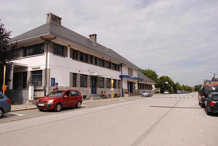
Photo: Jeanhousen, CC BY-SA 3.0.
Marloie railway station is situated 580 metres northwest of Cimetière de Marloie.
Castle of Waha
Castle

Photo: Jean-Pol GRANDMONT, CC BY 3.0.
Castle of Waha is a castle in Waha, Wallonia, Belgium. It is the main residence of the Duke and Princes of Arenberg in Belgium. Castle of Waha is situated 2½ km northeast of Cimetière de Marloie.
Chapelle de la Sainte-Trinité de Marche-en-Famenne
Church

Photo: CrucialFriend, CC0.
Chapelle de la Sainte-Trinité de Marche-en-Famenne is a church, which is situated 2½ km northeast of Cimetière de Marloie.
Places in the Area
Nearby places include Marloie and Aye.
Marloie
Village

Photo: Jean-Pol GRANDMONT, CC BY 3.0.
Marloie is a village of Wallonia in the municipality of Marche-en-Famenne, district of Waha, located in the province of Luxembourg, Belgium. The so-called Vieille cense in the middle of Marloie is a medieval fortified farm which originally belonged to the Abbey of Saint-Hubert.
Aye
Village

Photo: Opzwartbeek, CC BY-SA 4.0.
Aye is a village of Wallonia and a district of the municipality of Marche-en-Famenne, located in the province of Luxembourg, Belgium. The inhabitants of Aye are called the "Godis" in the Walloon language. Aye is situated 3 km northwest of Cimetière de Marloie.
Jemelle
Village

Photo: Jean-Pol GRANDMONT, CC BY 2.5.
Namur is a province in the Wallonia region of Belgium. Jemelle is situated 6 km southwest of Cimetière de Marloie.
Cimetière de Marloie
- Type: Cemetery
- Category: burial
- Location: Marche-en-Famenne, Arrondissement of Marche-en-Famenne, Luxembourg, Wallonia, Belgium, Benelux, Europe
- View on OpenStreetMap
Latitude
50.20016° or 50° 12′ 1″ northLongitude
5.32121° or 5° 19′ 16″ eastOpen location code
9F27682C+3FOpenStreetMap ID
way 107342552OpenStreetMap feature
landuse=cemetery
This page is based on OpenStreetMap, Wikidata, and Wikimedia Commons.
We’d love your help improving our open data sources. Thank you for contributing.
Satellite Map
Discover Cimetière de Marloie from above in high-definition satellite imagery.
Notable Places Nearby
Highlights include Église Saint-Georges and TT Marloie (B,C,D,F...).
Nearby Places
Explore places such as Marloie Cité des Rocailles and Marloie Spar.
Luxembourg: Must-Visit Destinations
Delve into Arlon, Bastogne, Bouillon, and La Roche-en-Ardenne.
Curious Cemeteries to Discover
Uncover intriguing cemeteries from every corner of the globe.
About Mapcarta. Data © OpenStreetMap contributors and available under the Open Database License". Text is available under the CC BY-SA 4.0 license, except for photos, directions, and the map. Photo: Jean-Pol GRANDMONT, CC BY-SA 3.0.