Multitel B1
Multitel B1 is a building in Hainaut, Wallonia which is located on Rue Pierre et Marie Curie. Multitel B1 is situated nearby to the government office Hainaut Développement, as well as near Initialis Science Park.| Tap on a place to explore it |
Places of Interest Nearby
Highlights include Initialis Science Park and Mons railway station.
Initialis Science Park

Photo: Sylenius, CC BY-SA 3.0.
Initialis Science Park is situated 200 metres east of Multitel B1.
Mons railway station
Railway station

Photo: Jean-Pol GRANDMONT, CC BY-SA 3.0.
Mons railway station is a railway station in Mons, Hainaut, Belgium. The station opened on 19 December 1841 on railway lines 96, 97 and 118. The train services are operated by the National Railway Company of Belgium. Mons railway station is situated 1¼ km east of Multitel B1.
Belfry of Mons
Scenic viewpoint

Photo: Jean-Pol GRANDMONT, CC BY-SA 3.0.
The Belfry of Mons is one of the more recent among the belfries of Belgium and France. At a height of 87 metres, it dominates the city of Mons, Belgium, which is itself constructed on a hill. Belfry of Mons is situated 2 km east of Multitel B1.
Places in the Area
Nearby places include Mons and Cuesmes.
Mons

Photo: Fred LEPOINT, CC BY-SA 4.0.
Mons is the capital of the Belgian province of Hainaut, in the region of Wallonia. The town is a worthy place to base yourself for a multi-day exploration of the Hainaut region.
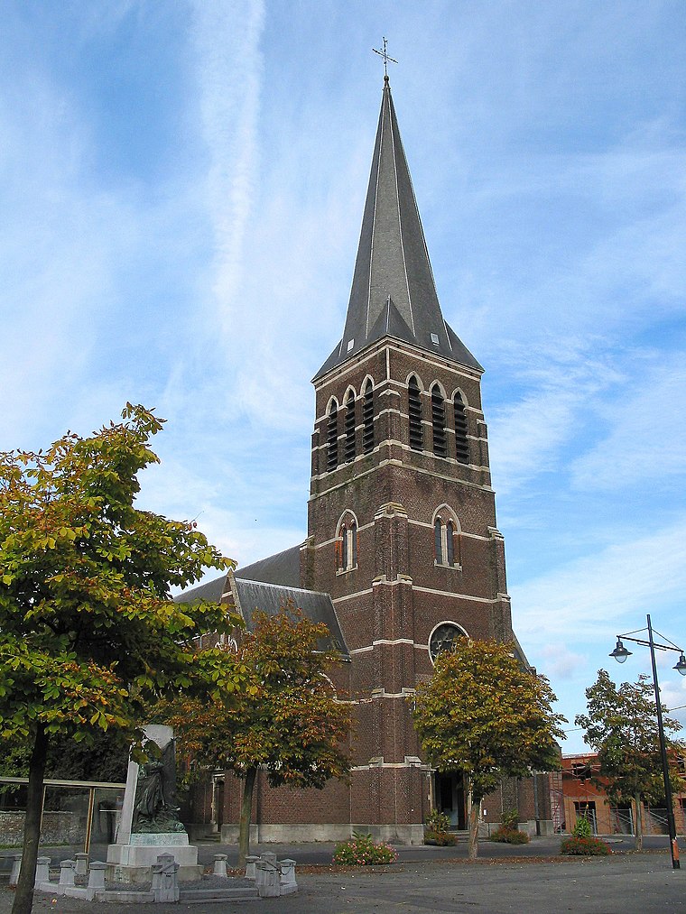
Cuesmes
Village

Photo: Jean-Pol GRANDMONT, CC BY-SA 3.0.
Cuesmes is a sub-municipality of the city of Mons located in the province of Hainaut, Wallonia, Belgium. It was a separate municipality until 1972. On 1 January 1972, it was merged into Mons.
Ghlin
Village
 Ghlin is a sub-municipality of the city of Mons located in the province of Hainaut, Wallonia, Belgium. It was a separate municipality until 1972. On 1 January 1972, it was merged into Mons. Ghlin is situated 2½ km northwest of Multitel B1.
Multitel B1
- Type: Commercial building
- Address: Rue Pierre et Marie Curie 2
- Categories: building and office
- Location: Hainaut, Wallonia, Belgium, Benelux, Europe
- View on OpenStreetMap
Latitude
50.45756° or 50° 27′ 27″ northLongitude
3.92526° or 3° 55′ 31″ eastLevels
3Open location code
9F25FW5G+24OpenStreetMap ID
way 107444920OpenStreetMap feature
building=commercial
This page is based on OpenStreetMap, Wikidata, and Wikimedia Commons.
We’d love your help improving our open data sources. Thank you for contributing.
Satellite Map
Discover Multitel B1 from above in high-definition satellite imagery.
Notable Places Nearby
Highlights include Hainaut Développement and École provinciale d’administration du Hainaut.
Nearby Places
Explore places such as Multitel and Multitel B2.
Hainaut: Must-Visit Destinations
Delve into Charleroi, Mons, Tournai, and La Louvière.
Curious Places to Discover
Uncover intriguing places from every corner of the globe.
About Mapcarta. Data © OpenStreetMap contributors and available under the Open Database License". Text is available under the CC BY-SA 4.0 license, except for photos, directions, and the map. Photo: Jean-Pol GRANDMONT, CC BY-SA 3.0.