Campingplatz ‘Am Sonnenhang’
Campingplatz ‘Am Sonnenhang’ is a campsite in Ormont, Vulkaneifel, Rhineland-Palatinate which is located on Kirchweg. Campingplatz ‘Am Sonnenhang’ is situated nearby to the church St. Margaretha, as well as near the community center Bürgerhaus.| Tap on a place to explore it |
Places of Interest Nearby
Highlights include St. Nikolaus.
St. Nikolaus
Church

Photo: Wikimedia, CC BY-SA 2.0.
St. Nikolaus is a church, which is situated 3 km north of Campingplatz ‘Am Sonnenhang’.
Places in the Area
Nearby places include Hallschlag and Scheid.
Hallschlag
Village
Photo: Wikimedia, CC BY-SA 2.0.
Hallschlag is a village in the Vulkaneifel district in Rhineland-Palatinate, Germany. The municipality belongs to the Verbandsgemeinde of Obere Kyll, whose seat is in the municipality of Gerolstein. Hallschlag is situated 3 km north of Campingplatz ‘Am Sonnenhang’.
Scheid
Village
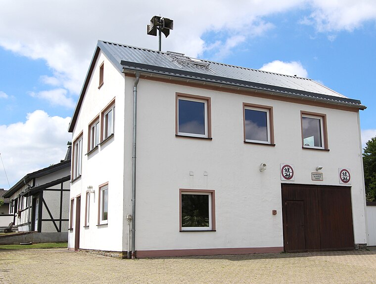
Photo: Colling-architektur, CC BY-SA 3.0.
Scheid is an Ortsgemeinde – a municipality belonging to a Verbandsgemeinde, a kind of collective municipality – in the Vulkaneifel district in Rhineland-Palatinate, Germany. Scheid is situated 4 km northwest of Campingplatz ‘Am Sonnenhang’.
Reuth
Village

Photo: Colling-architektur, CC BY-SA 3.0.
Reuth is an Ortsgemeinde – a municipality belonging to a Verbandsgemeinde – in the Vulkaneifel district in Rhineland-Palatinate, Germany. It belongs to the Verbandsgemeinde of Gerolstein, whose seat is in the municipality of Gerolstein. Reuth is situated 4½ km southeast of Campingplatz ‘Am Sonnenhang’.
Campingplatz ‘Am Sonnenhang’
- Type: Campsite
- Address: Kirchweg 5, Ormont, 54597
- Categories: tourism and camping
- Location: Ormont, Vulkaneifel, Rhineland-Palatinate, Germany, Central Europe, Europe
- View on OpenStreetMap
Latitude
50.32809° or 50° 19′ 41″ northLongitude
6.44576° or 6° 26′ 45″ eastOpen location code
9F288CHW+68OpenStreetMap ID
way 1075994560OpenStreetMap feature
tourism=camp_site
This page is based on OpenStreetMap, Wikidata, and Wikimedia Commons.
We’d love your help improving our open data sources. Thank you for contributing.
Satellite Map
Discover Campingplatz ‘Am Sonnenhang’ from above in high-definition satellite imagery.
Notable Places Nearby
Highlights include St. Margaretha and Bürgerhaus.
Nearby Places
Explore places such as Rosenhof and NOSBAR.
Rhineland-Palatinate: Must-Visit Destinations
Delve into Mainz, Trier, Koblenz, and Worms.
Curious Campsites to Discover
Uncover intriguing campsites from every corner of the globe.
About Mapcarta. Data © OpenStreetMap contributors and available under the Open Database License". Text is available under the CC BY-SA 4.0 license, except for photos, directions, and the map. Photo: Traveler100, CC BY-SA 3.0.