Sandshores Lake Estates
Sandshores Lake Estates is a residential area in Oakland County, Michigan. Sandshores Lake Estates is situated nearby to Crystal Lake, as well as near Emerald Lake.| Tap on a place to explore it |
Places in the Area
Nearby places include Troy and Rochester Hills.
Troy

Photo: Traveler100, CC BY-SA 3.0.
Troy is a city in Oakland County in the U.S. state of Michigan. A northern suburb of Detroit, Troy is located about 15 miles north of downtown Detroit.
Rochester Hills

Photo: Wikimedia, CC BY-SA 3.0.
Rochester Hills is a city in Oakland County, Michigan, United States. A northern suburb of Detroit, Rochester Hills is located about 25 miles north of downtown Detroit.
Utica
Town
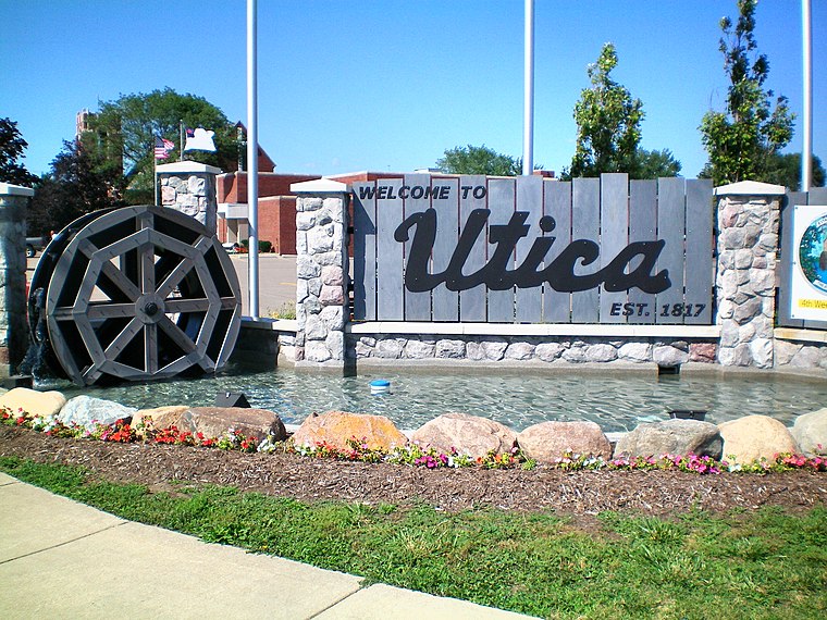
Photo: Wikimedia, Public domain.
Utica is a city in Macomb County in the U.S. state of Michigan. Its population was 5,245 at the 2020 census, up from 4,757 in 2010. Utica is situated 4 miles east of Sandshores Lake Estates.
Sandshores Lake Estates
- Type: Residential area
- Location: Oakland County, Michigan, Midwest, United States, North America
- View on OpenStreetMap
Latitude
42.62039° or 42° 37′ 13″ northLongitude
-83.11476° or 83° 6′ 53″ westOpen location code
86JRJVCP+53OpenStreetMap ID
way 1078839500OpenStreetMap feature
landuse=residential
This page is based on OpenStreetMap, Wikidata, and Wikimedia Commons.
We’d love your help improving our open data sources. Thank you for contributing.
Satellite Map
Discover Sandshores Lake Estates from above in high-definition satellite imagery.
Notable Places Nearby
Highlights include Sandshores Lake and Crystal Lake.
Nearby Places
Explore places such as Emerald Pointe Sub and John Arbor Sub.
Oakland County: Must-Visit Destinations
Delve into Auburn Hills, Pontiac, Troy, and Rochester Hills.
Curious Residential Areas to Discover
Uncover intriguing residential areas from every corner of the globe.
About Mapcarta. Data © OpenStreetMap contributors and available under the Open Database License". Text is available under the CC BY-SA 4.0 license, except for photos, directions, and the map. Photo: Wikimedia, CC0.