Cielo Supermarker
Cielo Supermarker is a supermarket in Contra Costa, California which is located on A Street. Cielo Supermarker is situated nearby to Saint Johns Lutheran Church, as well as near Church of Christ.| Tap on a place to explore it |
Places of Interest Nearby
Highlights include Antioch High School and Antioch–Pittsburg station.
Antioch High School
School

Photo: Mjrmtg, CC BY-SA 3.0.
Antioch High School is a public high school serving grades 9–12 in Antioch, California, located at 700 West 18th Street. Established in 1955, it is part of the Antioch Unified School District and enrolled about 1,823 students during the 2023–2024 school year. Antioch High School is situated 2,800 feet west of Cielo Supermarker.
Antioch–Pittsburg station
Railway station

Photo: Mliu92, CC BY-SA 4.0.
Antioch–Pittsburg station is an unstaffed Amtrak station in Antioch, California and is the closest station to Pittsburg, California, which is located about two miles west. Antioch–Pittsburg station is situated 1 mile northwest of Cielo Supermarker.
Contra Loma Regional Park
Park

Photo: Masrur Odinaev, CC BY-SA 3.0.
Contra Loma Regional Park is a 780-acre regional park in Contra Costa County, California. It is part of the East Bay Regional Parks system. It is located in the city of Antioch and includes an 80-acre reservoir.
Places in the Area
Nearby places include Antioch and Cornwall.
Antioch
 Antioch is the third-most populous city in Contra Costa County, California, United States. The city is located in the East Bay region of the San Francisco Bay Area along the Sacramento–San Joaquin River Delta.
Cornwall
Hamlet
Cornwall, formerly known as Cornwall Station, was an unincorporated community in Contra Costa County, California, before it was absorbed into the City of Pittsburg. Cornwall is situated 4 miles west of Cielo Supermarker.
Pittsburg
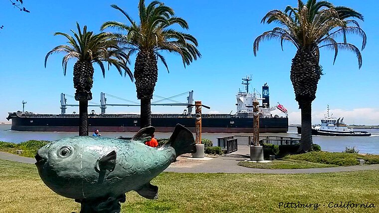
Photo: Bonmaxjoy, CC BY-SA 4.0.
Pittsburg is a city of 76,000 people in the east part of Contra Costa County in the San Francisco Bay Area on the west edge of the San Francisco Bay Delta.
Cielo Supermarker
- Type: Supermarket
- Address: 1818 A Street, Antioch, CA 94509
- Categories: building, shop, and food
- Location: Contra Costa, California, United States, North America
- View on OpenStreetMap
Latitude
38.00443° or 38° 0′ 16″ northLongitude
-121.80766° or 121° 48′ 28″ westOpen location code
84CW253R+QWOpenStreetMap ID
way 1079367631OpenStreetMap feature
building=yesOpenStreetMap feature
shop=supermarket
This page is based on OpenStreetMap, Wikidata, and Wikimedia Commons.
We’d love your help improving our open data sources. Thank you for contributing.
Satellite Map
Discover Cielo Supermarker from above in high-definition satellite imagery.
Notable Places Nearby
Highlights include Saint Johns Lutheran Church and Church of Christ.
Nearby Places
Explore places such as Delta Vacuum & Sewing Center Inc and Juarez Mexican Restaurant.
California: Must-Visit Destinations
Delve into San Francisco, Los Angeles, San Diego, and Sacramento.
Curious Supermarkets to Discover
Uncover intriguing supermarkets from every corner of the globe.
About Mapcarta. Data © OpenStreetMap contributors and available under the Open Database License". Text is available under the CC BY-SA 4.0 license, except for photos, directions, and the map. Photo: Wikimedia, CC0.