Àrea Recreativa de Pablo Luis Luque García
Àrea Recreativa de Pablo Luis Luque García is a picnic site in Elche, Costa Blanca, Valencian Community. Àrea Recreativa de Pablo Luis Luque García is situated nearby to the pitch Campo de fútbol del Merendero, as well as near the reservoir Pantà d’Elx.| Tap on a place to explore it |
Places of Interest Nearby
Highlights include Elx Parc train station and Palacio de Altamira.
Elx Parc train station
Railway station
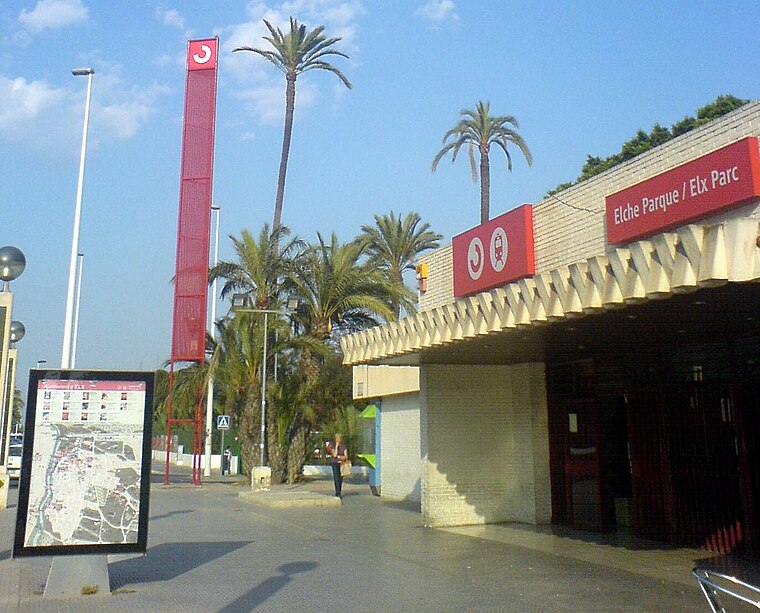
Photo: Josecarlosdiez, CC BY-SA 4.0.
Elx Parc train station is a railway station, which is situated 4 km southeast of Àrea Recreativa de Pablo Luis Luque García.
Palacio de Altamira

Photo: Wikimedia, Public domain.
Palacio de Altamira is situated 4 km southeast of Àrea Recreativa de Pablo Luis Luque García.
Elx Carrús
Railway station

Photo: Santjoaner, CC BY-SA 4.0.
Elx Carrús is a railway station, which is situated 3½ km south of Àrea Recreativa de Pablo Luis Luque García.
Places in the Area
Nearby places include el Raval de Sant Joan and Aspe.
el Raval de Sant Joan
Neighborhood

Photo: Espencat, Public domain.
el Raval de Sant Joan is a neighborhood, which is situated 4½ km southeast of Àrea Recreativa de Pablo Luis Luque García.
Aspe
Town

Photo: AdriNaik, CC BY-SA 3.0.
Aspe is a town and municipality located in the comarca of Vinalopó Mitjà, in the province of Alicante, Spain. The town is located in the valley of the river Vinalopó, 25 km from Alicante city. Aspe is situated 7 km northwest of Àrea Recreativa de Pablo Luis Luque García.
Monforte del Cid
Village

Photo: Wikimedia, CC BY-SA 4.0.
Monforte del Cid is a village in the province of Alicante and autonomous community of Valencia, Spain. The municipality covers an area of 79.5 square kilometres and as of 2011 had a population of 7,771 people. Monforte del Cid is situated 9 km north of Àrea Recreativa de Pablo Luis Luque García.
Àrea Recreativa de Pablo Luis Luque García
- Type: Picnic site
- Category: tourism
- Location: Elche, Costa Blanca, Alicante, Valencian Community, Eastern Spain, Spain, Iberia, Europe
- View on OpenStreetMap
Latitude
38.29912° or 38° 17′ 57″ northLongitude
-0.7211° or 0° 43′ 16″ westOpen location code
8CCX77XH+JHOpenStreetMap ID
way 1080175558OpenStreetMap feature
tourism=picnic_site
This page is based on OpenStreetMap, Wikidata, and Wikimedia Commons.
We’d love your help improving our open data sources. Thank you for contributing.
Satellite Map
Discover Àrea Recreativa de Pablo Luis Luque García from above in high-definition satellite imagery.
Notable Places Nearby
Highlights include Campo de fútbol del Merendero and Inspección Técnica de Vehículos Elche.
Nearby Places
Explore places such as Pas de l´Arc and Camí Vell d’Asp 2.
Costa Blanca: Must-Visit Destinations
Delve into Alicante, Benidorm, Torrevieja, and Dénia.
Curious Picnic Sites to Discover
Uncover intriguing picnic sites from every corner of the globe.
About Mapcarta. Data © OpenStreetMap contributors and available under the Open Database License". Text is available under the CC BY-SA 4.0 license, except for photos, directions, and the map. Photo: Wikimedia, CC0.