Stuw Nieuweweg
Stuw Nieuweweg is a pumping station in Rotterdam, Rotterdam-The Hague Metropolitan Region, South Holland. Stuw Nieuweweg is situated nearby to the power station Zonnepark Rhoon, as well as near Rhoonse Weide.| Tap on a place to explore it |
Places of Interest Nearby
Highlights include Portlandsebrug and Protestant Cemetery Charlois.
Portlandsebrug
Bridge
The Portlandsebrug, known as the Netkous, is a bicycle and pedestrian bridge in Rotterdam and Albrandswaard crossing the A15 motorway and connects Rotterdam-Charlois with Rhoon. Portlandsebrug is situated 1 km east of Stuw Nieuweweg.
Protestant Cemetery Charlois
Cemetery
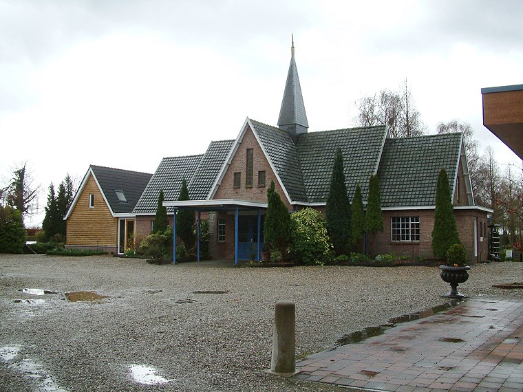
Photo: Wikimedia, CC BY-SA 3.0.
Protestant Cemetery Charlois is situated 1 km east of Stuw Nieuweweg.
Zout der Aarde
Church

Photo: G.Lanting, CC BY-SA 3.0.
Zout der Aarde is a church, which is situated 1½ km northeast of Stuw Nieuweweg.
Places in the Area
Nearby places include Pendrecht and Rhoon.
Pendrecht
Quarter

Photo: Wikimedia, CC BY-SA 4.0.
Pendrecht is a neighborhood in Rotterdam, Netherlands. In 2009 Eberhard van der Laan, the Minister of Housing, referred to the neighborhood as the second worst in his "40 problem neighbourhoods" list.
Rhoon
Village
Rhoon is a village that borders the municipality of the city of Rotterdam, South Holland, the Netherlands. According to its history it was established in 1199 and was ruled by the lords of Duiveland.
Stuw Nieuweweg
- Type: Pumping station
- Category: industry
- Location: Rotterdam, Rotterdam-The Hague Metropolitan Region, South Holland, Western Netherlands, Netherlands, Benelux, Europe
- View on OpenStreetMap
Latitude
51.86377° or 51° 51′ 50″ northLongitude
4.45025° or 4° 27′ 1″ eastOperator
Waterschap Hollandse DeltaOpen location code
9F36VF72+G4OpenStreetMap ID
way 1084252211OpenStreetMap feature
man_made=pumping_station
This page is based on OpenStreetMap, Wikidata, and Wikimedia Commons.
We’d love your help improving our open data sources. Thank you for contributing.
Satellite Map
Discover Stuw Nieuweweg from above in high-definition satellite imagery.
Notable Places Nearby
Highlights include Zonnepark Rhoon and Rhoonse Weide.
Nearby Places
Explore places such as Skibrilplas and Hoeve Noordburg.
Rotterdam: Must-Visit Destinations
Delve into Centrum, Capelle en Noordoost, Albrandswaard, and Port of Rotterdam.
Curious Pumping Stations to Discover
Uncover intriguing pumping stations from every corner of the globe.
About Mapcarta. Data © OpenStreetMap contributors and available under the Open Database License". Text is available under the CC BY-SA 4.0 license, except for photos, directions, and the map. Photo: Wikimedia, CC BY 3.0.