Cap30
Cap30 is a nightclub in Namur, Namur, Wallonia. Cap30 is situated nearby to the ruins Fort de Suarlée, as well as near the government office Agence Wallonne à l’Exportation.| Tap on a place to explore it |
Places of Interest Nearby
Highlights include Fort de Suarlée and Château de Flawinne.
Fort de Suarlée
Ruins

Photo: Caemir, CC BY-SA 3.0.
The Fort de Suarlée is one of nine forts built as part of the Fortifications of Namur in the late 19th century in Belgium. It was built between 1888 and 1892 according to the plans of General Henri Alexis Brialmont. Fort de Suarlée is situated 1 km north of Cap30.
Château de Flawinne
Castle

Photo: Marc Ronvaux, CC BY-SA 3.0.
The château de Flawinne or Castle of Flawinne is in the Belgian village of Flawinne on the outskirts of Namur, Wallonia. Château de Flawinne is situated 1¼ km south of Cap30.
Namur-Suarlée Airfield
Aerodrome
 Namur-Suarlée Airfield is a regional aerodrome in Belgium, located at Suarlée and Temploux, 4 nautical miles west-northwest of Namur, in Namur Province, Wallonia. Namur-Suarlée Airfield is situated 2½ km northwest of Cap30.
Places in the Area
Nearby places include Suarlée and Belgrade.
Suarlée
Village
Suarlée is a sub-municipality of the city of Namur located in the province of Namur, Wallonia, Belgium. It was a separate municipality until 1977. On 1 January 1977, it was merged into Namur.
Belgrade
Village

Photo: Jean-Pol GRANDMONT, CC BY-SA 3.0.
Belgrade is a sub-municipality of the city of Namur located in the province of Namur, Wallonia, Belgium. The municipality of Belgrade was formed on 2 August 1897, when it was detached from the municipality of Flawinne.
Flawinne
Village
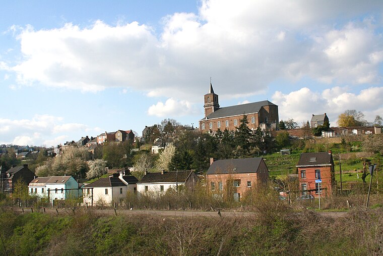
Photo: Jean-Pol GRANDMONT, CC BY-SA 3.0.
Flawinne is a sub-municipality of the city of Namur located in the province of Namur, Wallonia, Belgium. It was a separate municipality until 1977. On 2 August 1897, Belgrade was detached from Flawinne. On 1 January 1977, Flawinne was merged into Namur. Flawinne is situated 2½ km south of Cap30.
Cap30
- Type: Nightclub
- Category: building
- Location: Namur, Arrondissement of Namur, Namur, Wallonia, Belgium, Benelux, Europe
- View on OpenStreetMap
Latitude
50.47816° or 50° 28′ 41″ northLongitude
4.80283° or 4° 48′ 10″ eastOpen location code
9F26FRH3+74OpenStreetMap ID
way 108511690OpenStreetMap feature
amenity=nightclubOpenStreetMap feature
building=yes
This page is based on OpenStreetMap, Wikidata, and Wikimedia Commons.
We’d love your help improving our open data sources. Thank you for contributing.
Satellite Map
Discover Cap30 from above in high-definition satellite imagery.
Notable Places Nearby
Highlights include Agence Wallonne à l’Exportation and Sale de Ventes Rops.
Nearby Places
Explore places such as Flagrant Delire and Lux Katrine Dentiste.
Curious Nightclubs to Discover
Uncover intriguing nightclubs from every corner of the globe.
About Mapcarta. Data © OpenStreetMap contributors and available under the Open Database License". Text is available under the CC BY-SA 4.0 license, except for photos, directions, and the map. Photo: Guywets, CC BY-SA 3.0.