Parkway Sub
Parkway Sub is a residential area in Wayne County, Michigan. Parkway Sub is situated nearby to St. Paul’s Presbyterian, as well as near Bell Creek County Park.| Tap on a place to explore it |
Places of Interest Nearby
Highlights include Redford Union High School and Livonia Marketplace.
Redford Union High School
School
Redford Union High School is a secondary school in Redford, Michigan, a suburb of Detroit. The school is affiliated with the Redford Union School District and serves grades 9-12. Redford Union High School is situated 1½ miles northeast of Parkway Sub.
Livonia Marketplace
Commercial area
 Livonia Marketplace is an open-air shopping mall in the Detroit suburb of Livonia, Michigan. Opened in 2010, the center is anchored by Kohl's and Walmart. Livonia Marketplace is situated 2 miles northwest of Parkway Sub.
Places in the Area
Nearby places include Redford and Livonia.
Redford
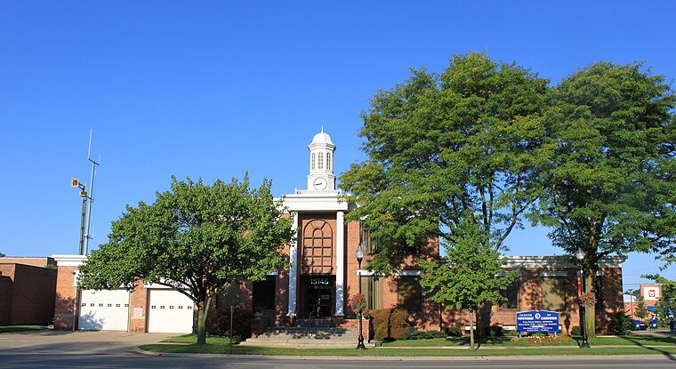
Photo: Dwight Burdette, CC BY 3.0.
Redford Township is a charter township in Wayne County in the U.S. state of Michigan. An inner-ring suburb of Detroit, Redford borders Livonia to the west and Detroit to the east, roughly 15 miles northwest of downtown Detroit.
Livonia

Photo: Traveler100, CC BY-SA 3.0.
Livonia is a city in Wayne County in the U.S. state of Michigan. A western suburb of Detroit, Livonia is located roughly 20 miles northwest of downtown Detroit.
Brightmoor
Neighborhood

Photo: Notorious4life, Public domain.
Brightmoor is a neighborhood located in Detroit, Michigan, near the northwest border of the city. Brightmoor is defined by the Brightmoor Alliance as being bordered by Puritan Avenue to the north, the CSX railway to the south, Evergreen Road to the east, and West Outer Drive, Dacosta Street, and Telegraph Road to the west. Brightmoor is situated 3½ miles east of Parkway Sub.
Parkway Sub
- Type: Residential area
- Location: Wayne County, Michigan, Midwest, United States, North America
- View on OpenStreetMap
Latitude
42.40225° or 42° 24′ 8″ northLongitude
-83.31849° or 83° 19′ 7″ westOpen location code
86JRCM2J+WJOpenStreetMap ID
way 1089697756OpenStreetMap feature
landuse=residential
This page is based on OpenStreetMap, Wikidata, and Wikimedia Commons.
We’d love your help improving our open data sources. Thank you for contributing.
Satellite Map
Discover Parkway Sub from above in high-definition satellite imagery.
Notable Places Nearby
Highlights include St. Paul’s Presbyterian and Bell Creek County Park.
Nearby Places
Explore places such as Strathcona Gardens and Parardise Fruit & Vegetables.
Wayne County: Must-Visit Destinations
Delve into Detroit, Dearborn, Downtown Detroit, and Livonia.
Curious Residential Areas to Discover
Uncover intriguing residential areas from every corner of the globe.
About Mapcarta. Data © OpenStreetMap contributors and available under the Open Database License". Text is available under the CC BY-SA 4.0 license, except for photos, directions, and the map. Photo: Wikimedia, CC0.