Mill Pond Conservation Area
Mill Pond Conservation Area is a nature reserve in Town of Groveland, Essex, Massachusetts. Mill Pond Conservation Area is situated nearby to the hamlet South Groveland, as well as near Riverside.| Tap on a place to explore it |
Places of Interest
Highlights include Hales Island and Bradford Burial Ground.
Hales Island
Island
Hale's Island is a 54-acre island located on the Merrimack River in Haverhill / Bradford, Massachusetts. The property is part of Silsby's farm.
Bradford Burial Ground
Cemetery

Photo: Magicpiano, CC BY-SA 3.0.
The Bradford Burial Ground is a historic cemetery at 326 Salem Street in the Bradford section of Haverhill, Massachusetts. The 1.5-acre cemetery was established in 1665, on land given by John Heseltine to the town of Bradford.
Northpoint Bible College
College
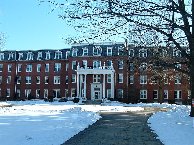
Photo: Chonak, CC BY-SA 3.0.
Northpoint Bible College and Seminary is a private Pentecostal Bible college and seminary in Haverhill, Massachusetts. The college's sole purpose is to teach and train students for Pentecostal ministry for the spread of the Christian gospel.
Places in the Area
Nearby places include Groveland and Haverhill.
Groveland
Photo: LymanSchool, CC BY-SA 3.0.
Groveland is a town in Merrimack Valley with a population of 7,000. Georgetown is a town of 8,000. West Newbury is a small town of 4,500. Boxford is a town of about 8,000.
Haverhill
 Haverhill is a city in Essex County, Massachusetts, United States. Haverhill is located 35 miles north of Boston on the New Hampshire border and about 17 miles from the Atlantic Ocean.
Georgetown
Village

Photo: Faolin42, CC BY-SA 3.0.
Groveland is a town in Merrimack Valley with a population of 7,000. Georgetown is a town of 8,000. West Newbury is a small town of 4,500. Boxford is a town of about 8,000.
Mill Pond Conservation Area
- Type: Nature reserve
- Category: recreation area
- Location: Town of Groveland, Essex, Massachusetts, New England, United States, North America
- View on OpenStreetMap
Latitude
42.7411° or 42° 44′ 28″ northLongitude
-71.0416° or 71° 2′ 30″ westOpen location code
87JCPXR5+F9OpenStreetMap ID
way 1101783462OpenStreetMap feature
leisure=nature_reserve
This page is based on OpenStreetMap, Wikidata, and Wikimedia Commons.
We’d love your help improving our open data sources. Thank you for contributing.
Satellite Map
Discover Mill Pond Conservation Area from above in high-definition satellite imagery.
Places with the Same Name
Discover other places named “Mill Pond Conservation Area”.
Localities in the Area
Explore places such as South Groveland and Riverside.
Notable Places Nearby
Highlights include Groveland Fire Department Station 2 and Johnson Creek Dam at Salem Street.
Massachusetts: Must-Visit Destinations
Delve into Boston, Cambridge, Springfield, and Worcester.
Curious Nature Reserves to Discover
Uncover intriguing nature reserves from every corner of the globe.
About Mapcarta. Data © OpenStreetMap contributors and available under the Open Database License". Text is available under the CC BY-SA 4.0 license, except for photos, directions, and the map. Photo: papadunes, CC BY-SA 3.0.