Jelenlét pont
Jelenlét pont is a building in Borsod-Abaúj-Zemplén County, Northern Hungary which is located on Fő utca. Jelenlét pont is situated nearby to the town hall Polgármesteri Hivatal, as well as near the church Istenszülő Oltalma-templom.| Tap on a place to explore it |
Places in the Area
Nearby places include Pribeník and Biel.
Pribeník
Village

Photo: Gaj777, CC BY-SA 4.0.
Pribeník is a village and municipality in the Trebišov District in the Košice Region of south-eastern Slovakia. Pribeník is situated 3½ km northwest of Jelenlét pont.
Biel
Village
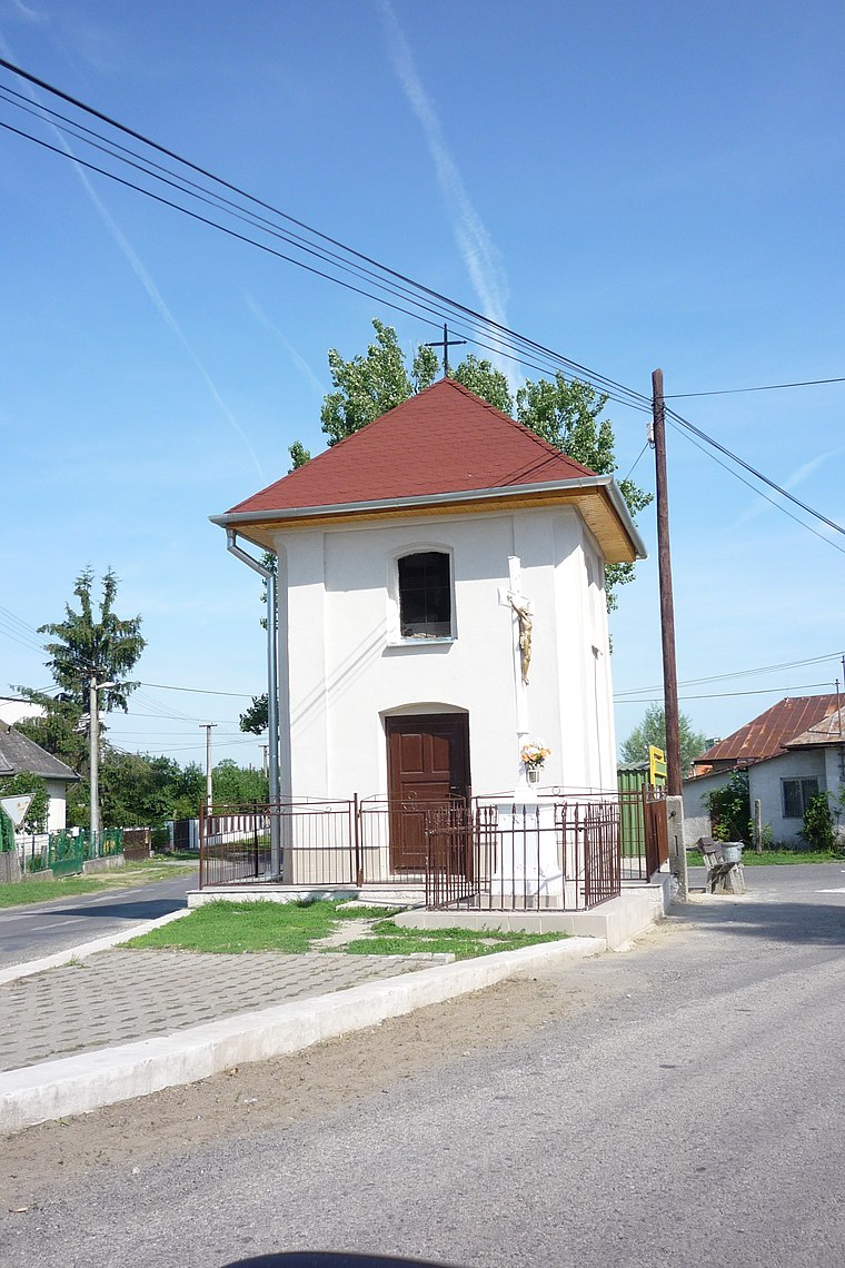
Photo: Györgyfi, CC BY-SA 3.0.
Biel is a village and municipality in the Trebišov District in the Košice Region of eastern Slovakia. Biel is situated 4 km northeast of Jelenlét pont.
Dobrá
Village
Dobrá is a village and municipality in the Trebišov District in the Košice Region of eastern Slovakia. Dobrá is situated 4 km north of Jelenlét pont.
Jelenlét pont
- Type: Building
- Address: Fő utca 125, Dámóc, 3978
- Location: Borsod-Abaúj-Zemplén County, Northern Hungary, Hungary, Central Europe, Europe
- View on OpenStreetMap
Latitude
48.37736° or 48° 22′ 39″ northLongitude
22.03646° or 22° 2′ 11″ eastLevels
1Height
5 metres (16 feet)Open location code
8GW492GP+WHOpenStreetMap ID
way 1103289828OpenStreetMap feature
building=yes
This page is based on OpenStreetMap, Wikidata, and Wikimedia Commons.
We’d love your help improving our open data sources. Thank you for contributing.
Satellite Map
Discover Jelenlét pont from above in high-definition satellite imagery.
Places with the Same Name
Discover other places named “Jelenlét pont”.
Notable Places Nearby
Highlights include Polgármesteri Hivatal and Istenszülő Oltalma-templom.
Nearby Places
Explore places such as Jelenlét pont and Dámóc, autóbusz-váróterem.
Borsod-Abaúj-Zemplén County: Must-Visit Destinations
Delve into Miskolc, Sátoraljaújhely, Kazincbarcika, and Ózd.
Curious Buildings to Discover
Uncover intriguing buildings from every corner of the globe.
About Mapcarta. Data © OpenStreetMap contributors and available under the Open Database License". Text is available under the CC BY-SA 4.0 license, except for photos, directions, and the map. Photo: Peterszvitek, CC BY-SA 3.0.