medine sugar mill
medine sugar mill is an industrial building in Rivière Noire District, Mauritius. medine sugar mill is situated nearby to the heath VEGETABLES PLANTATION, as well as near the forest Hideout gardens.| Tap on a place to explore it |
Places of Interest Nearby
Highlights include Stade Germain Comarmond and Flic-en-Flac beach.
Stade Germain Comarmond
Stadium
 The Germain Comarmond Stadium is a multi-use stadium in Bambous, Rivière Noire District, Mauritius. It is currently used mostly for staging football matches and athletics events. Stade Germain Comarmond is situated 3 km northeast of medine sugar mill.

Places in the Area
Nearby places include Bambous and Flic en Flac.
Bambous
Town
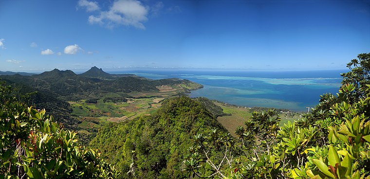
Photo: carrotmadman6, CC BY 2.0.
Bambous is a small town in Mauritius located in the Rivière Noire District. The village is administered by the Bambous Village Council under the aegis of the Rivière Noire District Council. Bambous is situated 2½ km east of medine sugar mill.
Flic en Flac
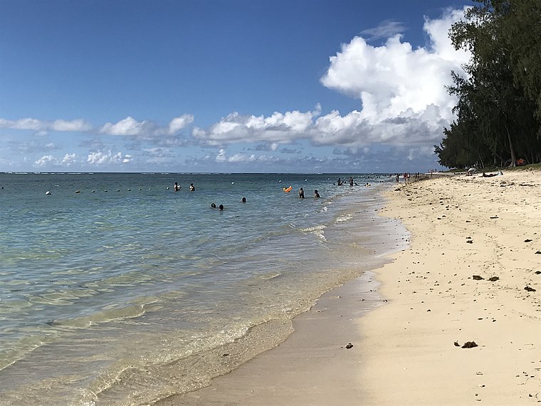
 Flic-en-Flac is a seaside village on the west coast of Mauritius in the district of Black River. The name most likely comes from an Old Dutch phrase, "Fried Landt Flaak", meaning free, flat land.
Albion
Village
Albion is a locality situated within the Rivière Noire District of Mauritius. As of the 2020 census, the town had a population of 6,042 inhabitants. It is part of the District Council of Black River. Albion is situated 6 km north of medine sugar mill.
medine sugar mill
- Type: Industrial building
- Categories: building and industry
- Location: Rivière Noire District, Mauritius, East African Islands, Africa
- View on OpenStreetMap
Latitude
-20.26135° or 20° 15′ 41″ southLongitude
57.39395° or 57° 23′ 38″ eastOpen location code
5HFVP9QV+FHOpenStreetMap ID
way 1112206530OpenStreetMap feature
building=industrial
This page is based on OpenStreetMap, Wikidata, and Wikimedia Commons.
We’d love your help improving our open data sources. Thank you for contributing.
Satellite Map
Discover medine sugar mill from above in high-definition satellite imagery.
Notable Places Nearby
Highlights include VEGETABLES PLANTATION and Hideout gardens.
Nearby Places
Explore places such as Distillerie de medine and Medine Sugar mill.
Mauritius: Must-Visit Destinations
Delve into Port Louis, Rodrigues, Pamplemousses, and Le Morne Brabant.
Curious Industrial Buildings to Discover
Uncover intriguing industrial buildings from every corner of the globe.
About Mapcarta. Data © OpenStreetMap contributors and available under the Open Database License". Text is available under the CC BY-SA 4.0 license, except for photos, directions, and the map. Photo: Wikimedia, CC0.