Essex County Greenbelt Association
Essex County Greenbelt Association is a nature reserve in Town of West Newbury, Essex, Massachusetts. Essex County Greenbelt Association is situated nearby to the village West Newbury, as well as near the hamlet Rocks Village.| Tap on a place to explore it |
Places of Interest
Highlights include Rocks Village Bridge and Whittier Regional Vocational Technical High School.

Whittier Regional Vocational Technical High School
School
Whittier Regional Vocational Technical High School, also known as “Whittier Tech” and/or “Big Whittier,” was founded in 1972.
Pentucket Regional High School
School building
Pentucket Regional High School is a public high school in West Newbury, Massachusetts, United States, which serves the communities of Groveland, Merrimac, and West Newbury.
Places in the Area
Nearby places include Groveland and Haverhill.
Groveland
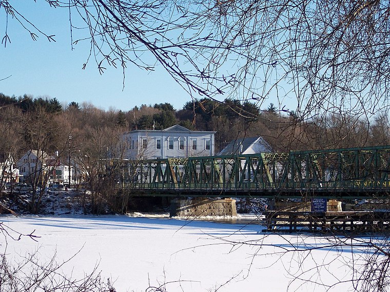
Photo: LymanSchool, CC BY-SA 3.0.
Groveland is a town in Merrimack Valley with a population of 7,000. Georgetown is a town of 8,000. West Newbury is a small town of 4,500. Boxford is a town of about 8,000.
Haverhill
 Haverhill is a city in Essex County, Massachusetts, United States. Haverhill is located 35 miles north of Boston on the New Hampshire border and about 17 miles from the Atlantic Ocean.
West Newbury
Village

Photo: Fletcher6, CC BY-SA 3.0.
Groveland is a town in Merrimack Valley with a population of 7,000. Georgetown is a town of 8,000. West Newbury is a small town of 4,500. Boxford is a town of about 8,000.
Essex County Greenbelt Association
- Type: Nature reserve
- Category: recreation area
- Location: Town of West Newbury, Essex, Massachusetts, New England, United States, North America
- View on OpenStreetMap
Latitude
42.785° or 42° 47′ 6″ northLongitude
-71.0061° or 71° 0′ 22″ westOpen location code
87JCQXMV+XGOpenStreetMap ID
way 1116111019OpenStreetMap feature
leisure=nature_reserve
This page is based on OpenStreetMap, Wikidata, and Wikimedia Commons.
We’d love your help improving our open data sources. Thank you for contributing.
Satellite Map
Discover Essex County Greenbelt Association from above in high-definition satellite imagery.
Places with the Same Name
Discover other places named “Essex County Greenbelt Association”.
Localities in the Area
Explore places such as Rocks Village and Whittier Flats.
Notable Places Nearby
Highlights include Young’s Meadow and Brake Hill.
Massachusetts: Must-Visit Destinations
Delve into Boston, Cambridge, Springfield, and Worcester.
Curious Nature Reserves to Discover
Uncover intriguing nature reserves from every corner of the globe.
About Mapcarta. Data © OpenStreetMap contributors and available under the Open Database License". Text is available under the CC BY-SA 4.0 license, except for photos, directions, and the map. Photo: papadunes, CC BY-SA 3.0.