Park Irvine Industrial Complex
Park Irvine Industrial Complex is in Orange County, Southern California, California. Park Irvine Industrial Complex is situated nearby to the place of worship DarulFalah Islamic Center, as well as near the health club CrossFit Tustin.| Tap on a place to explore it |
Places of Interest Nearby
Highlights include Tustin station and William Woollett Jr. Aquatics Center.
Tustin station
Railway station

Photo: Wikimedia, Public domain.
Tustin station is a Metrolink train station in Tustin, California, United States. The station is located in a shopping plaza at the intersection of Jamboree Road and Edinger Avenue. Tustin station is situated 1,700 feet south of Park Irvine Industrial Complex.
William Woollett Jr. Aquatics Center
Sports venue

Photo: BMacZero, CC BY-SA 4.0.
The William Woollett Jr. Aquatics Center is an aquatics venue located in Irvine, California, United States. The City of Irvine operates year-round municipal programs in aquatic facility. William Woollett Jr. Aquatics Center is situated 1½ miles southeast of Park Irvine Industrial Complex.
Brywood Park
Park
Northwood is a community encompassing the northern portions of the city of Irvine, in Orange County, California. It covers the area enclosed by the Santa Ana Freeway, Culver Drive, Portola Parkway and Jeffrey Road. Brywood Park is situated 2 miles east of Park Irvine Industrial Complex.
Places in the Area
Nearby places include Northwood and Irvine.
Northwood
Suburb
Northwood is a community encompassing the northern portions of the city of Irvine, in Orange County, California. It covers the area enclosed by the Santa Ana Freeway, Culver Drive, Portola Parkway and Jeffrey Road. Northwood is situated 2 miles east of Park Irvine Industrial Complex.
Irvine

Photo: Traveler100, CC BY-SA 4.0.
Irvine is a city of 308,000 people in Orange County, California. Irvine is one of the newest and largest cities in Orange County, and it is still growing.
Woodbridge
Suburb
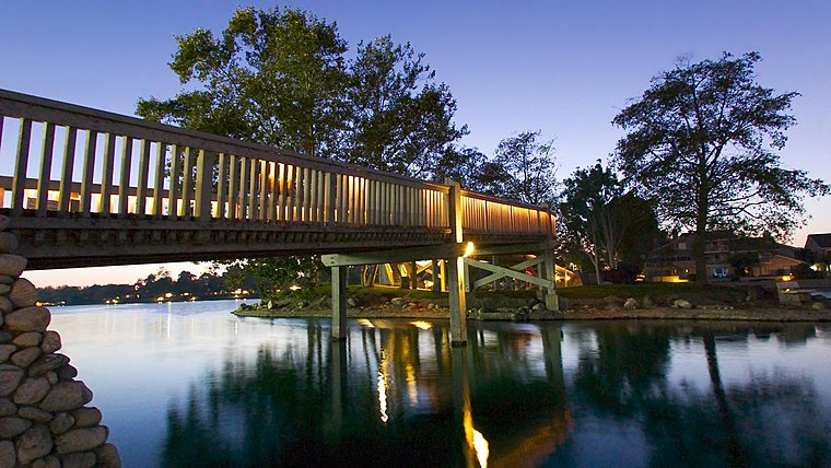
Photo: David Eppstein, CC BY-SA 2.5.
Woodbridge is a large suburban housing development, begun in 1975 by the Irvine Company, in the central region of Irvine, California. It covers 2.65 square miles and has two large artificial lakes at its center. Woodbridge is situated 2½ miles south of Park Irvine Industrial Complex.
Park Irvine Industrial Complex
- Type: Industry
- Location: Orange County, Southern California, California, United States, North America
- View on OpenStreetMap
Latitude
33.71253° or 33° 42′ 45″ northLongitude
-117.80514° or 117° 48′ 19″ westOpen location code
8554P57V+2WOpenStreetMap ID
way 111876551OpenStreetMap feature
landuse=industrial
This page is based on OpenStreetMap, Wikidata, and Wikimedia Commons.
We’d love your help improving our open data sources. Thank you for contributing.
Satellite Map
Discover Park Irvine Industrial Complex from above in high-definition satellite imagery.
Notable Places Nearby
Highlights include DarulFalah Islamic Center and CrossFit Tustin.
Nearby Places
Explore places such as Walnut-Myford and Walnut-Sinclair.
Orange County: Must-Visit Destinations
Delve into Disneyland, Anaheim, Santa Ana, and Irvine.
Curious Places to Discover
Uncover intriguing places from every corner of the globe.
About Mapcarta. Data © OpenStreetMap contributors and available under the Open Database License". Text is available under the CC BY-SA 4.0 license, except for photos, directions, and the map. Photo: Traveler100, CC BY-SA 3.0.