De La Salle College Holy Eucharist Campus
De La Salle College Holy Eucharist Campus is a school in Victoria, Australia which is located on Dandenong Road. De La Salle College Holy Eucharist Campus is situated nearby to Holy Eucharist and St Mary’s Catholic Church, as well as near the park Urban Forest.| Tap on a place to explore it |
- Type: School
- Denomination: Catholic
- Address: 1241-1247 Dandenong Road
Places of Interest Nearby
Highlights include Murrumbeena railway station and East Malvern railway station.
Murrumbeena railway station
Railway station
 Murrumbeena station is a railway station operated by Metro Trains Melbourne on the Pakenham and Cranbourne lines, part of the Melbourne rail network. It serves the south-eastern suburb of Murrumbeena, in Melbourne, Victoria, Australia. Murrumbeena railway station is situated 720 metres south of De La Salle College Holy Eucharist Campus.
East Malvern railway station
Railway station
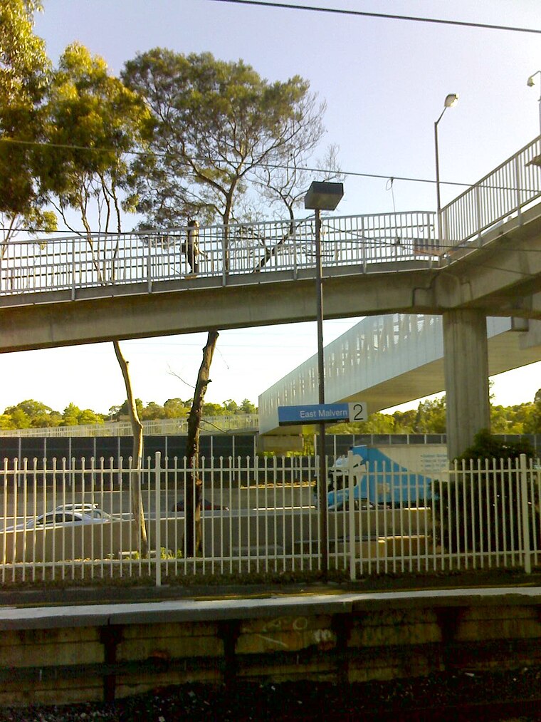
Photo: Dtfman, Public domain.
East Malvern railway station is a commuter railway station on the Glen Waverley line, which is part of the Melbourne railway network. It serves the eastern suburb of Malvern East, in Melbourne, Victoria, Australia. East Malvern railway station is situated 790 metres north of De La Salle College Holy Eucharist Campus.
Carnegie railway station
Railway station
 Carnegie station is a railway station operated by Metro Trains Melbourne on the Cranbourne and Pakenham lines, which are part of the Melbourne rail network. Carnegie railway station is situated 1 km west of De La Salle College Holy Eucharist Campus.
Places in the Area
Nearby places include Stonnington and Hawthorn East.
Stonnington

Photo: Jorge Láscar, CC BY 2.0.
Stonnington is an area and municipality in Melbourne, just southeast of the CBD. It includes the main centres of South Yarra, Prahran and Toorak. This is the posh part of Melbourne and its most expensive place to live.
Hawthorn East
Suburb
Hawthorn East is a suburb of Melbourne, Victoria, Australia, 7 km east of the Melbourne central business district, located within the City of Boroondara local government area. Hawthorn East is situated 6 km north of De La Salle College Holy Eucharist Campus.
Syndal
Neighborhood
Syndal is a Locality in the Melbourne suburbs of Glen Waverley and Mount Waverley in Victoria, Australia around the intersection of High Street Road and Blackburn Road. Syndal is situated 7 km east of De La Salle College Holy Eucharist Campus.
De La Salle College Holy Eucharist Campus
- Category: education
- Location: Victoria, Australia, Oceania
- View on OpenStreetMap
Latitude
-37.88392° or 37° 53′ 2″ southLongitude
145.06923° or 145° 4′ 9″ eastOpen location code
4RJ74389+CMOpenStreetMap ID
way 1119550618OpenStreetMap feature
amenity=schoolOpenStreetMap attribute
denomination=catholic
This page is based on OpenStreetMap, Wikidata, and Wikimedia Commons.
We’d love your help improving our open data sources. Thank you for contributing.
Satellite Map
Discover De La Salle College Holy Eucharist Campus from above in high-definition satellite imagery.
Notable Places Nearby
Highlights include Holy Eucharist and St Mary’s Catholic Church and Urban Forest.
Nearby Places
Explore places such as Hobart Road/Dandenong Road and Bruce Street/Dandenong Road.
Victoria: Must-Visit Destinations
Delve into Melbourne, Geelong, CBD, and Ballarat.
Curious Schools to Discover
Uncover intriguing schools from every corner of the globe.
About Mapcarta. Data © OpenStreetMap contributors and available under the Open Database License". Text is available under the CC BY-SA 4.0 license, except for photos, directions, and the map. Photo: Ricmik, CC BY-SA 3.0.